Aim
In this module you will gain a detailed understanding of the advantages and challenges of Earth observation using Light Detection and Ranging (LiDAR) systems. Compared to other types of remote sensing data, the data from active Light Detection and Ranging (LiDAR) systems is of particular importance for local studies, where the 3D component (height) of objects is of relevance. Commonly LiDAR data is applied it in the field of digital terrain modelling, in forestry – e.g. for canopy height assessment, or urban structure applications. LiDAR embraces a range of active remote sensing systems mounted on different platforms, which provide valuable information for characterization of horizontal and vertical structure of the earth surface by measuring the travel time of laser pulses in visible and near-infrared spectral domains. The quality of scanning depends on the nature of the LIDAR system (discrete-return or full waveform) as well as on a set of other terrain- and data-driven factors. This course provides you with an overview on the theory and applications of LiDAR data, with a particular focus on airborne laser scanning. Following the initial theoretical sections on the principles and basic characteristics of LiDAR data, diverse practical steps and exercises will be implemented to provide real-world examples to illustrate how the LiDAR point clouds can be applied to extract information on terrain, surface and vegetation. These information will be further employed to model vegetation structural attributes on multiple spatial scales ranging from single trees to landscape levels.
Content
Block 1: Introduction to LiDAR (how does laser scanning work?)
- Reminder on general remote sensing issues: difference between active and passive sensing
- History of LiDAR measurements
- Basics of LiDAR data measurements (platforms, sensors)
- Airborne vs. spaceborne LiDAR: history, applications and data access
- Measurement of travel time of laser light (pulsed time of flight)
- On the concept of “structure”: why a third dimension is crucial?
Block 2: Principles of LiDAR measurements
- Platform navigation, orientation and positioning
- Difference between types of data acquisitions: discrete return and echo waveform
- The recorded parameters: elevation, height, signal intensity and co.
- The concept of „single-pulse“ vs. „multiple-pulse“
- How are the incoming returns recorded? first come- first served!
- Terrestrial LiDAR measurement: one position, rotating scanner
- Data formats and big data-management: each byte matters!
Block 3: Elevation models:
- General thoughts: why are the elevation models essential?
- Digital terrain models
- Digital surface models
- Normalized DSM (Canopy height models)
- Application fields: Forest, landscape and habitat representations
- Magnified focus on Forest (basic and derived parameters): Diameter at breast height, height, tree type proportions, tree type mapping, crown closure, stem count, growing stock und aboveground biomass
- Single tree measurements
- Urban: City models, roof top and building footprints
Block 4: Exercises in Open-Source domain of LiDAR data processing (Fusion/LDV, LASTools, R)
- Exercises on point cloud processing
- Import, export, visualizations and rendering
- Sample measurements, single tree measurements and associated tasks
- Elevation models
- Data trimming, cropping, smoothing and generalizing
- Catalog and descriptive communication
- Extraction of metrics for modeling purposes
- Thoughts on metrics
- Intensity: yes or no?
- Multi-scale metric extraction
- Multi-source metric extraction
- Class works and workshops (CIP-Pool/Homework)
- Literature review, discussion groups and public presentations
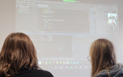
Coding
Coding examples and individual work will be covered
Software
Various software programs will be used, but mainly OpenSource software such as R.
Techniques
Different techniques will be introduced and practically applied.
Content
The content of scientific with regard to the audience will be discussed.
General Course News and Updates

Internship Networking event
Our EAGLEs have to conduct two internship and like to do them in quite diverse fields. Their research interests range from dry ecosystems to mountains, from conservation to agriculture, from the Arctic to Africa and from Earth Observation companies to large research...
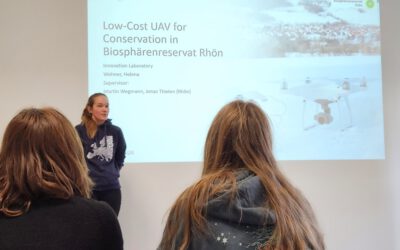
UAS application in a biosphere reserve
Our EAGLE Helena Wehner presented her work in the Rhoen biosphere reserve where she tested the potential of low cost consumer drones for conservation. She aimed at mapping animal tracks using photogrammetry approaches in snowy landscapes. The structure through...
Online RStoolbox bug code sprint
Our new maintainer, konstantin Mueller, one of our EAGLE students, migrated the remote sensing R package to sf, terra/stars and got it back onto cran. However, as usual various bugs are still around and during our eagle remote sensing programming lecture the youngest...
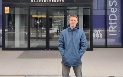
EAGLE student Konstantin Müller is a guest scientist in Japan
Our EAGLE student Konstantin Müller is a guest scientist at The International Research Institute for Disaster Science (IRIDeS) in Japan The IRIDeS is dedicated to advancing research and understanding in the realm of disaster science. Situated in Japan, IRIDeS plays an...
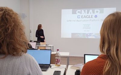
EAGLEs learn SNAP
Various very specific scientific software packages are developed to serve specific purposes like the SNAP tools for Sentinel fleet data processing. Our EAGLEs have to learn the wealth of relevant software packages for our field of research and get to know the pros and...
our EAGLEs train SAGA GIS
Within our EAGLE MSc program our students are learning quite a variety of programming environments and software programs, however due to the high diversity of available (open-source) programs our students have to apply their spatial research skills to learn a totally...
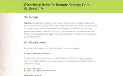
RStoolbox now maintained by our EAGLE Konstantin Müller
we are very happy that our EAGLE Konstantin Müller took over the maintenance and further development of the remote sensing R stats package RStoolbox. Of course the "older" developers like Jakob Schwalb-Willmann (also an old EAGLE) and Benjamin Leutner (also our old...
EAGLE students train scientific presentations
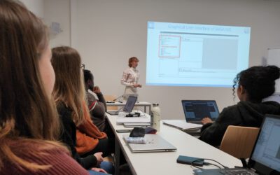
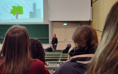
Within our scientific presentation course within the EAGLE Msc our students also have to learn how deliver good scientific presentation within a large lecture room and for a larger crowd of scientists. Therefore we expose them to the large number of bsc students...
Inno Lab Report by Helena Wehner on January 23rd at 12:30 p.m.
On Tuesday, January 23rd at 12:30 Helena Wehner will present her inno lab report "Low-Cost UAV for Conservation in the Conservation area „Biosphärenreservat Rhön"" (seminar room 3, John-Skilton-Str. 4a). Hosting Institution: Biosphärenreservat Rhön Supervisors: Jonas...
Internship Report by Luis David Almeida Famada
On Tuesday, January 23rd at 12:00 a.m. Luis David Almeida Famada will present his internship report at DLR " "Land Use and Resource Management" Hosting Institution: DLR – Deutsches Zentrum für Luft- und Raumfahrt Supervisors: Dr. Soner Üreyen, Deutsches Luft- und...