landuse systems | ecology & conservation | coastal landscapes | urban landscapes |


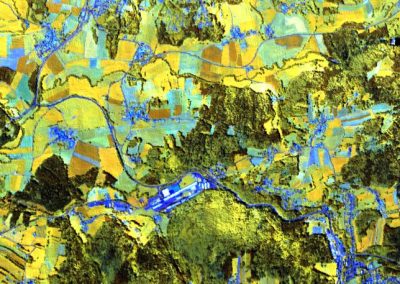
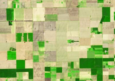
Focus: human landuse systems
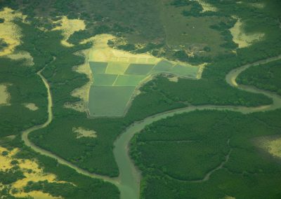
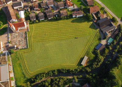
If you are interested to focus on the use of remote sensing and geoanalysis for answering geographical questions, welcome to our EAGLE program. A specialization in this field will give you the basic knowledge to generate, analyse, and assess digital data for observing and explaining processes of human-environment interactions in the landscape. In EAGLE, focus is set on rural areas (in developing countries of Central and South-East Asia, and Africa) agricultural landscapes in humid and dry climates, coastal zones worldwide, and agriculture.
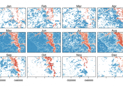
The methodological components address the derivation of parameters that describe relevant landscape elements, e.g. land use systems such as agricultural areas (cropping systems: cropland extent, cropping intensity, crop rotations and diversity, crop yields), rural settlements, or water bodies (in intensively used landscapes), land cover and vegetation dynamics (phenology, biomass, leaf area index), their changes and dynamics (e.g. cropland degradation, cultural landscape development, lake and wetland dynamics, etc.).
In this focus we learn how to make use of Landsat and MODIS archives, examine the possiblities of the Sentinels and other systems like RapidEye or TerraSAR-X. We get to know existing operational remote sensing systems, learn to integrate different types of remote sensing data e.g. to completely cover study regions, how to deal with gaps in multitemporal data and time series, etc., which are the important elements/requirements of/for practical remote sensing.
We also deal with the challenge how to make use of the results in applications like landscape planning or land and water management, and research ranging from development research to system Earth analysis (geomorphology, climatology). This in many cases can not be achieved by simply deriving remote sensing parameters and stop after accuracy assessment. Thus, we by data integration in statistical or biophysical models or with the output of these models (e.g. interactions of land dynamics with climate, or runoff), and by enhancing existing or generating new indicator systems and feeding them with necessary data.
In the first semester we equip you with the necessary introduction to programming. You will be able to write your first own routines (mandatory courses). The following optional courses on top of the mandatory courses are suggested in the focus area remote sensing in geography:

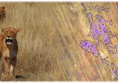
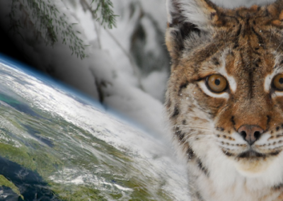
Focus: Ecology and Conservation
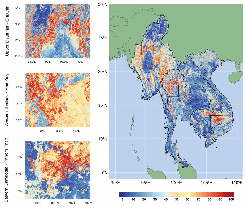
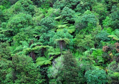
Remote Sensing is highly valuable within ecology and conservation and such skills can be pursued within the EAGLE program in order to gain an in-depth understanding on how remote sensing can help to understand the status and change of biodiversity patterns for ecological and conservation research. Using remote sensing in combination with biodiversity data will allow you to understand the current status, the implication and causes of e.g. deforestation patterns, landscape degradation or subtle shifts in phenology with do impact species distribution ranges. Learning how to couple remotely sensed environmental variables with ecological in-situ data is highly crucial to understand species-environment interactions and conduct statistical temporal and spatial predictions for biodiversity distribution and change (SDMs).
Such skills learned in this focus topic within EAGLE is relevant for conservation science and management, ecological research and policy related biodiversity analysis. Conservation (N)GOs, companies as well as scientific institutions working in this area do apply these methods or are in need to expand their knowledge.
For news on these topics please check our “biodiversity”, “conservation” or “ecology” posts on the news page.
Suggested courses to deepen your skills in this focus area:
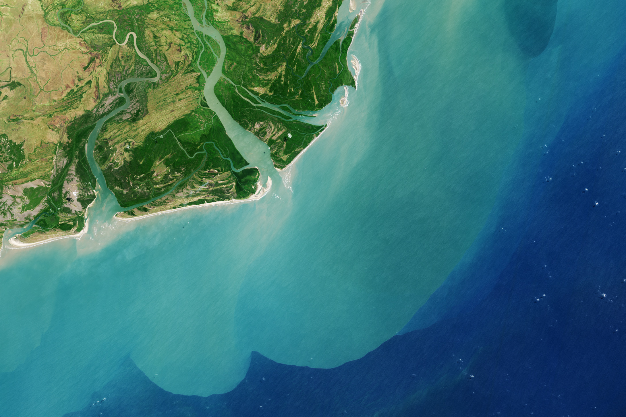
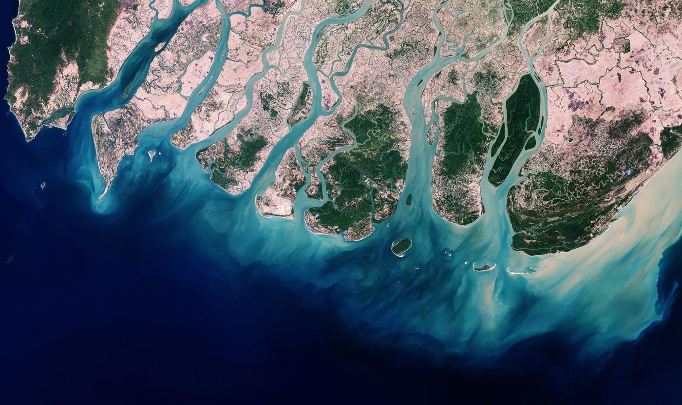
Focus: Coastal landscapes
Coastal areas are changing constantly and are threatened by a variety of factors such as climate change or human disturbance. However, such areas are highly important for human livelihoods, conservation or resources. Remote Sensing is providing highly valuable information for these landscapes in order to understand their status and change. Relevant skills to monitor these areas can be pursued within the EAGLE program in order to gain an improved understanding on how remote sensing can help to analyse coastal landscapes as well as surrounding impacting factors.
Such skills learned in this focus topic within EAGLE is relevant for coastal management, protection and well as research on this important ecosystem.
Suggested courses to deepen your skills in this focus area:
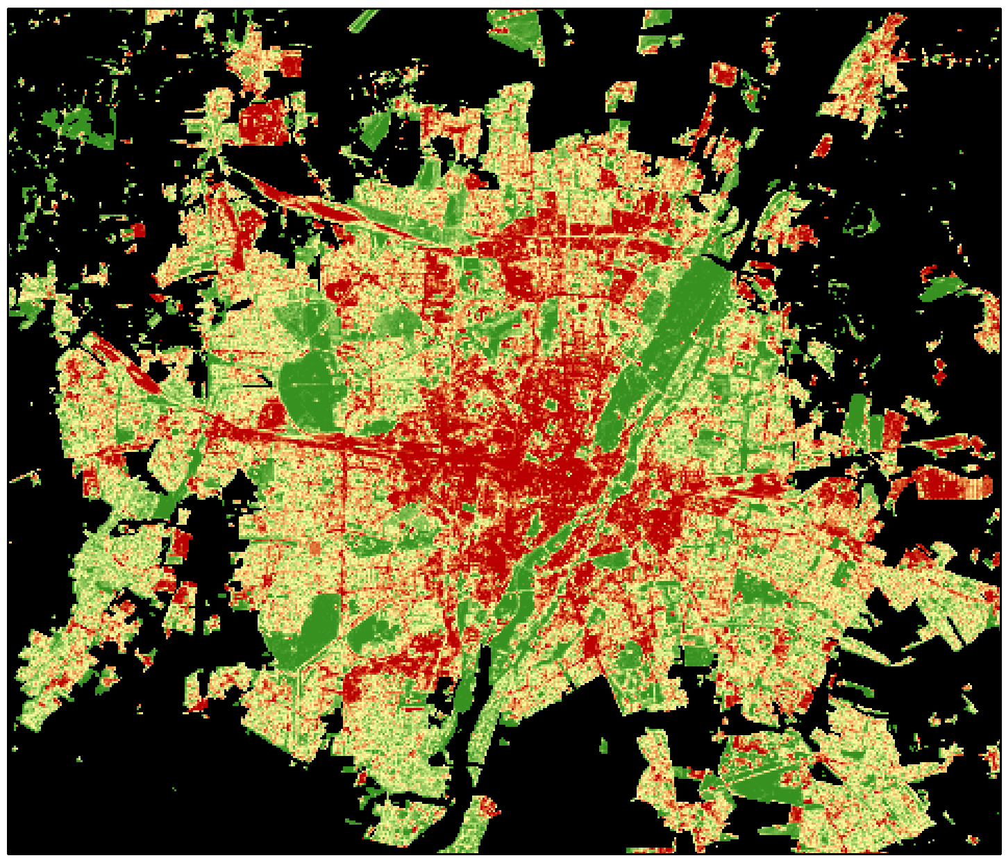
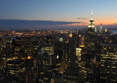
Focus: Urban landscapes
Urbanization is in our decade a major change on a global scale. Monitoring these changes, mapping the urban sprawl and predicting its development is crucial for urban management and planning as well as understanding the impact on the surrounding landscapes. Remote Sensing is providing all necessary tools to map urban and rural centers on a global scale. The techniques do only allow to map urban areas but also to differentiate between different urbanization types such as slums. The skills to map urban areas, understand the challenges and potential of remotely sensed information is highly important for organizations working in urban management, land management or conservation.
Relevant skills are covered within EAGLE courses and skills can be further deepened in internships within the urban group at DLR.
Suggested courses to deepen your skills in this focus area:
News and Updates
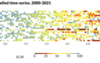
MSc defense Sub-seasonal snowline dynamics of glaciers in Central Asia from multi-sensor satellite observations, 2000-2021
MSc defense (MA2) by Dilara Kim On Monday, September 18, 2023 Dilara Kim will present her Msc Thesis at 13:00 “Sub-seasonal snowline dynamics of glaciers in Central Asia from multi-sensor satellite observations, 2000-2021” From the abstract: Glaciers are an important...
Msc Defense by Katrin Wernicke
On Tuesday, July 18 at 10 a.m. Katrin Wernicke will present her MSc Thesis "Deep Learning for Refugee Camps – Mapping Settlement Extents with Sentinel-2 Imagery and Semantic Segmentation" From the abstract: The number of people forced to flee their homes has...
MSc defense and Inno-Lab presentations
On Tuesday 20th of December at 12am we will have various presentations MSc defense by Kevin Yomi on "Evaluation wildfire activity in conflict-affected areas using earth observation and panel regression models: a case study of Borno State, Nigera, from 2003-2020" In...