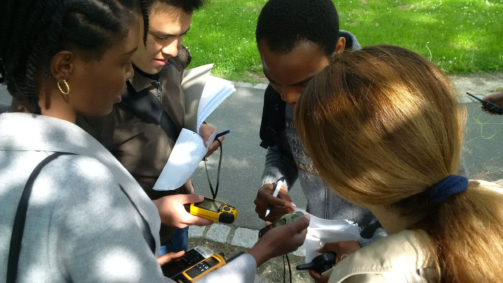
 The course “from field work to spatial data” by Tobias Ullmann and Martin Wegmann is covering the whole range of field campaign planning and especially training all necessary methods such as GPS handling, coordinate systems, setting waypoints or finding locations. In the next weeks the EAGLE students will collect field data, link it to attribute tables, import it into a GIS and create a land cover classification. The final project will be an actual field campaign in the Steigerwald area which they have to design, plan, coordinate and analyze it.
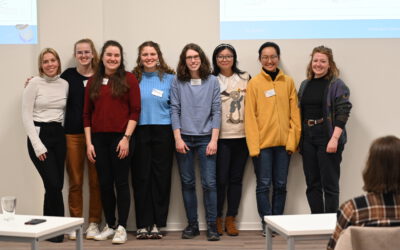
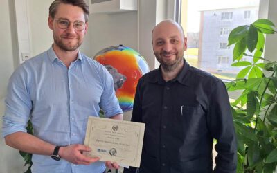
EAGLE MSc. graduation
We are very happy to celebrate again the graduation of some of our EAGLE M.Sc. students. The candidates already handed in their M.Sc. thesis a while ago but just recently we had our EAGLE graduation party and enjoyed to celebrate this important milestone with all...