Lecturer
Stephen Hill
ECTS
5 ECTS
Aim
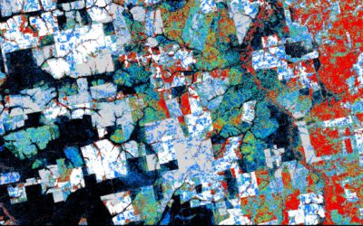
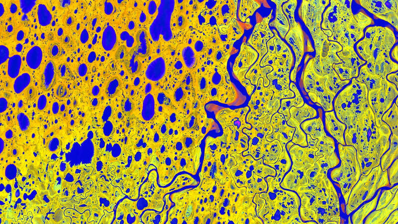
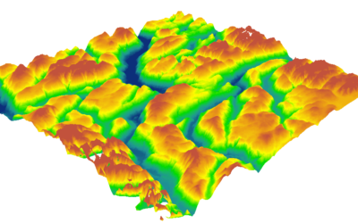
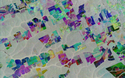
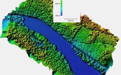
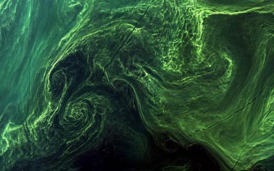
In this course we will elaborate large and complex workflows dealing with the analysis and handling of big data using Python. Moreover, we will try to develop a fully automated processing chain in Python for landcover mapping starting with the download of Landsat data, preprocessing, classification and building up a spatial database that enables GIS functionality over large datasets for further analysis.
Content
We will start with the basics of Python programming language and quickly evolve towards image processing techniques with packages such as scipy, numpy, scikit-learn, scikit-image and gdal. We will also focus on arcpy for ESRI software products which allows for a convenient and powerful automatization of spatial analysis functions.
General Course News and Updates
Internship, inno lab and MSc. idea
On Monday 17th of January at 9am we will have the following presentations: Luisa Pflumm (MSc. idea presentation): "Assess silver-backed chevrotaindistribution in Nui Chua NP (Vietnam).", supervisors: Insa Otte, Andreas Wilting (IZW) Christopher Chan (Msc. idea...
Internship and MSc idea presentation
On Friday 12th of November at 9am the following presentations will take place: Sofia Garcia:"Production of morphology data in African and Asian cities."Internship at DLR, supervisor: Henri Debray Annika Ludwig"Analysis of alpine grassland management dynamics based on...
MSc idea, inno lab and internship
On Monday, 25th of October the following remote sensing presentation by our EAGLE students will take place: 9am MSc idea presentation by Nils Karges "Exploring spatial relationships of soundscape variables in urbanareas. " (supervisors: Hannes Taubenböck and Jürgen...
MSc idea and InnoLab presentations
On Friday 15th of October at 10am we will have the following MSc idea and inno lab presentations: Nestor Gualsaqui - M.Sc. Thesis Idea: "Pre-crop emergence weed mapping using high satellite imagery"supervisor: Dr. Michael Thiel Yomna Eid - Innovation Lab:...
MSc idea and internship presentations
Next Monday, Sept. 20th, at 9:30am the following EAGLE students will present thier MSc. thesis idea or internship: Sofia Garcia:“Estimating socioeconomic variables in Bolivia using satellite-based NTL and electricity consumption data”(Thesis idea, supervisors Hannes...
Thesis idea and internship presentation
On Thursday, July 22nd at 2pm we will have the following presentations: Haiyin Ye (thesis idea):"Monitoring gypsy moth outbreak using Sentinel-1 and Sentinel-2 data" - supervisors Soyeon bae and Martin Wegmann Christabel Ansah (internship):"Virtual...

inno lab and MSc idea presentation
Next Tuesday, April 27th, at 10am the following EAGLE students will present their Innovation Laboratory work and their MSc thesis idea: Sandro Groth: "PortalAdminTools: A Python-based programming interface for Esri Enterprise infrastructures" (InnoLab with ESRI)Sandro...
internship presentations
On Monday March 1st at 10am the following internships will be presented: Marius Witt, Baby it's cold outside - Interning at DLRs Polar Team, internship at DLR. Jakob Wachter, Potential use cases of a self established database for social media data, internship at...
internship and inno lab presentations
On Wednesday, 27th of February at 2pm we will have the first set of internship and innovation laboratory presentations in 2021: Yan Chak Christopher Chan: Start-up life and Deep Learning (Internship) Nils Karges: Noise and its relation to urban structural types...
Internships, inno lab and MSc ideas presentations
On Monday, Dec. 14th at 10am, we have another set of internship, innovation lab and MSc. thesis idea presentations: Sandro Groth: Multitask Deep Learning and Google Street View: Assessing seismic building vulnerability in Santiago de Chile (Internship)...