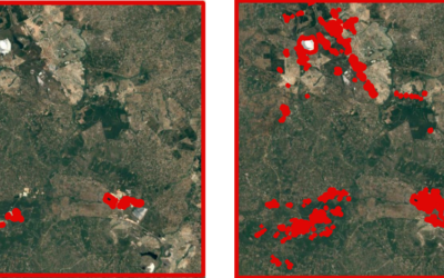
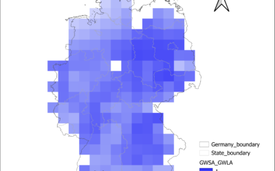
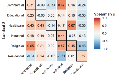
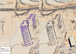
Our EAGLE students that took and passed our Introduction to spatial programming course had to submit an R package that applies spatial methods for a variety of Earth Observation data. We are very proud to show the huge diversity of very interesting and useful R package by our students.
Packages for deriving information about hiking trails around point of interest, tree mapping, spatial animations or climate data retrieval. Browse the various git repositories of our EAGLE submissions:
github.com/xxguisseppe/coriM
Packages for deriving information about hiking trails around point of interest, tree mapping, spatial animations or climate data retrieval. Browse the various git repositories of our EAGLE submissions:
github.com/xxguisseppe/coriM