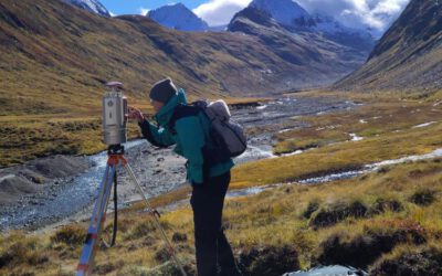
 Analyzing species-environment interaction is feasible using various data and method. An increasing technology is the tracking of animals and especially its linkage to remote sensing, as covered in AniMove.org. However, with this technology new challenges have to be dealt with, e.g. the decrease in accuracy of tracking devices in dense vegetation. In this innovation laboratory you can explore the error margins of tracking devices in relation to the landcover and explore options to solve it and being able to provide new improved methods to link animal movement data and remotely sensed environmental information.
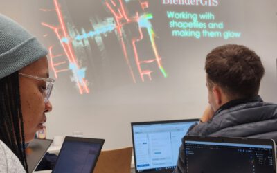
Blender GIS introduction
Within out EAGLE Earth Observation M.Sc. we also cover software applications which might not be used on a regular basis within our field of research but are sometimes highly useful to display our spatial data in a visually appealing way - and also potentially provides...

