Article published by our EAGLE Laura Obrecht

Just before the end of last year Lauras manuscript about fractional cover analysis in Namibia got published! Her research is titled “Mapping Changes in Fractional Vegetation Cover on the Namib Gravel Plains with Satellite-Retrieved Land Surface Emissivity Data”. Congratulations to Laura for this great achievement!
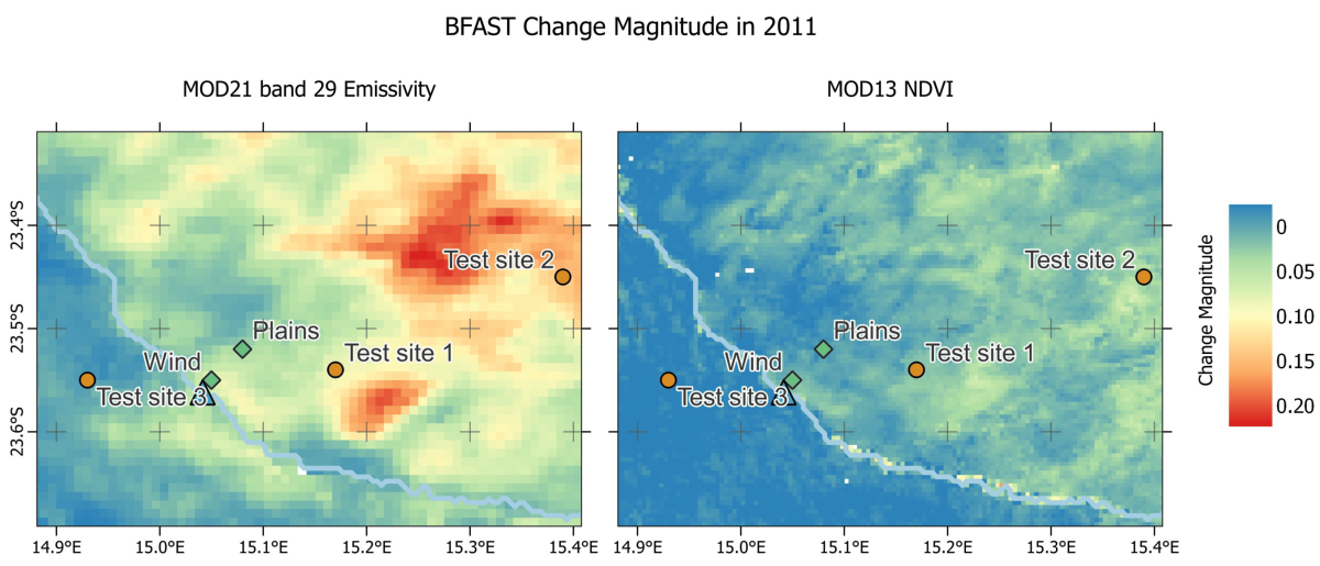
From her abstract: “Monitoring changes in vegetation cover over time is crucial for understanding the spatial distribution of rainfall, as well as the dynamics of plants and animals in the Namib desert. Traditional vegetation indices have limitations in capturing changes in vegetation cover within water-limited ecosystems like the Namib gravel plains. Spectral emissivity derived from thermal infrared remote sensing has recently emerged as a promising tool for distinguishing between bare ground and non-green vegetation in arid environments. This study investigates the potential of satellite-derived emissivities for mapping changes in fractional vegetation cover across the Namib gravel plains. Analyzing Moderate Resolution Imaging Spectroradiometer (MODIS) band 29 (λ = 8.55 µm) emissivity time series from 2001 to 2021, our findings demonstrate the ability of both Normalized Difference Vegetation Index (NDVI) and emissivity to detect sudden vegetation growth on the gravel plains. Emissivity additionally allows monitoring the extent of desiccated grass over several years after a rainfall event. Our results support a relationship between the change in fractional vegetation cover, the amount of rainfall and emissivity change magnitude. Information from NDVI and emissivity therefore provide complementary information for assessing vegetation in arid environments.”
read the full article here: www.mdpi.com/2072-4292/16/1/159

read more news:

Cooperation with Namib desert Research Institute Gobabeb

Cooperation with Namib desert Research Institute Gobabeb

The Namib desert research station Gobabeb (www.gobabeb.org) is involved in diverse research projects and is hosting various students and researchers from a wide range of backgrounds and nationalities. They are also already involved in remote sensing and very...

EAGLE summer dialogue

EAGLE summer dialogue

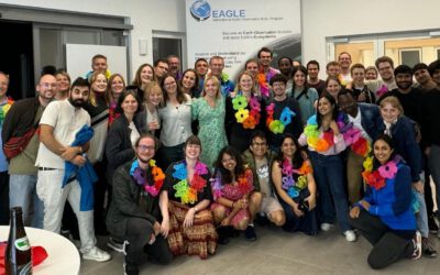
Our annual EAGLE summer dialogue was a great success again even though the weather was quite challenging. The EAGLEs organized a fantastic event with fun activities, great images reviving the last months and years and of course a BBQ, drinks and an outstanding...

new publication by our EAGLE student Clara Vydra

new publication by our EAGLE student Clara Vydra

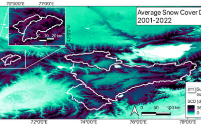
Our EAGLE student Clara just published an article about snow cover variability in Central Asia - great to see our young EAGLE MSc students being on a good track for their scientific career. from the abstract: "Climate change is affecting the snow cover conditions on a...

UAS team – meme

UAS team – meme

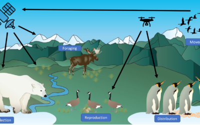
The UAS (UAV or drone) team was quite busy the last months to collect data in Europe, Africa or Arctic and the group spend plenty of hours traveling and collecting Lidar, multispectral, thermal or hyperspectral data in various ecosystems. Of course in many cases faced...

scientific graphics course

scientific graphics course

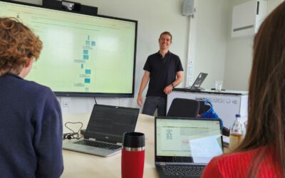
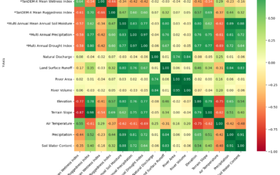
Beside the various remote sensing courses such as radar, cloud computing, terrain analysis, urban analysis etc. we do also offer courses on softskills such as scientific writing, presentations as well scientific graphics and maps. Within our scientific graphics course...

EAGLE students introduce locust spatio-temporal modeling

EAGLE students introduce locust spatio-temporal modeling

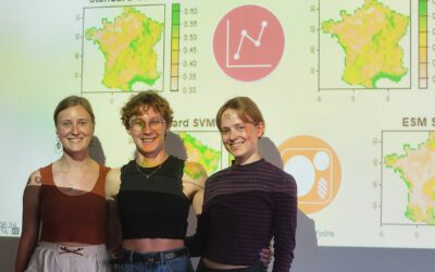
Our EAGLE students Leonie, Sonja and Clara presented methods to model the spatial and temporal distribution of locust in France using statistical modelling approaches within R and the flexSDM package. The elaborated for two hours how the complex data preparation,...