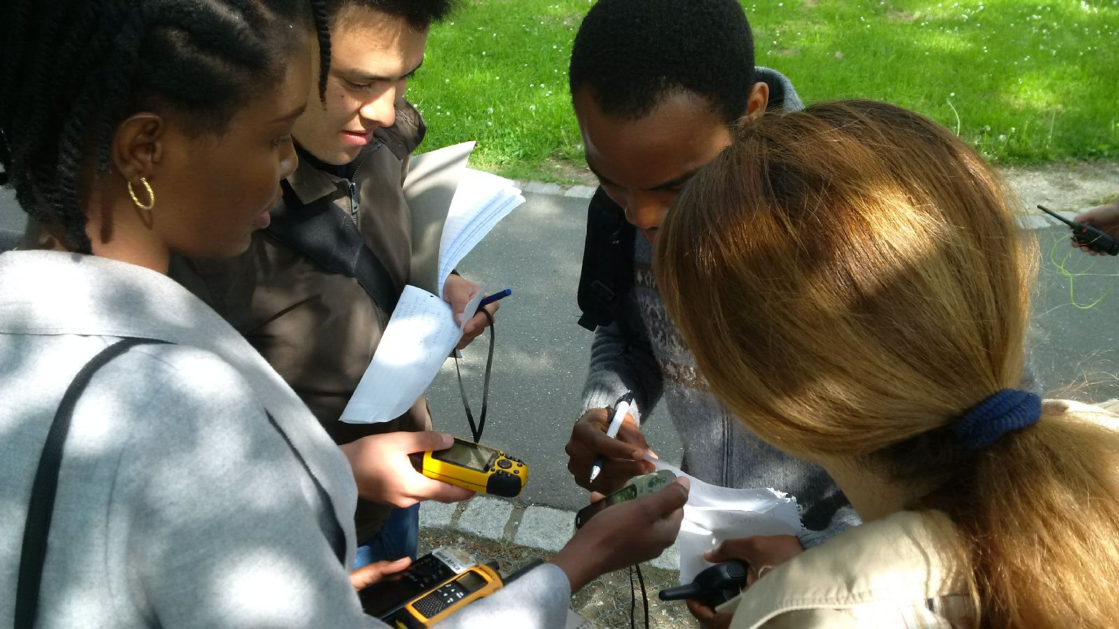
 The course “from field work to spatial data” by Tobias Ullmann and Martin Wegmann is covering the whole range of field campaign planning and especially training all necessary methods such as GPS handling, coordinate systems, setting waypoints or finding locations. In the next weeks the EAGLE students will collect field data, link it to attribute tables, import it into a GIS and create a land cover classification. The final project will be an actual field campaign in the Steigerwald area which they have to design, plan, coordinate and analyze it.

Master Thesis Defense: “Modelling the Spatio-Temporal Suitability of Urban Environments for Aedes Aegypti Mosquitoes based on their Bio-Ecological Characteristics in Rio de Janeiro “
On Friday, March 22, at 12:00 Rutendo Mukaratirwa will present her master thesis on " Modelling the Spatio-Temporal Suitability of Urban Environments for Aedes Aegypti Mosquitoes based on their Bio-Ecological Characteristics in Rio de Janeiro " in seminar room 3,...