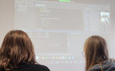
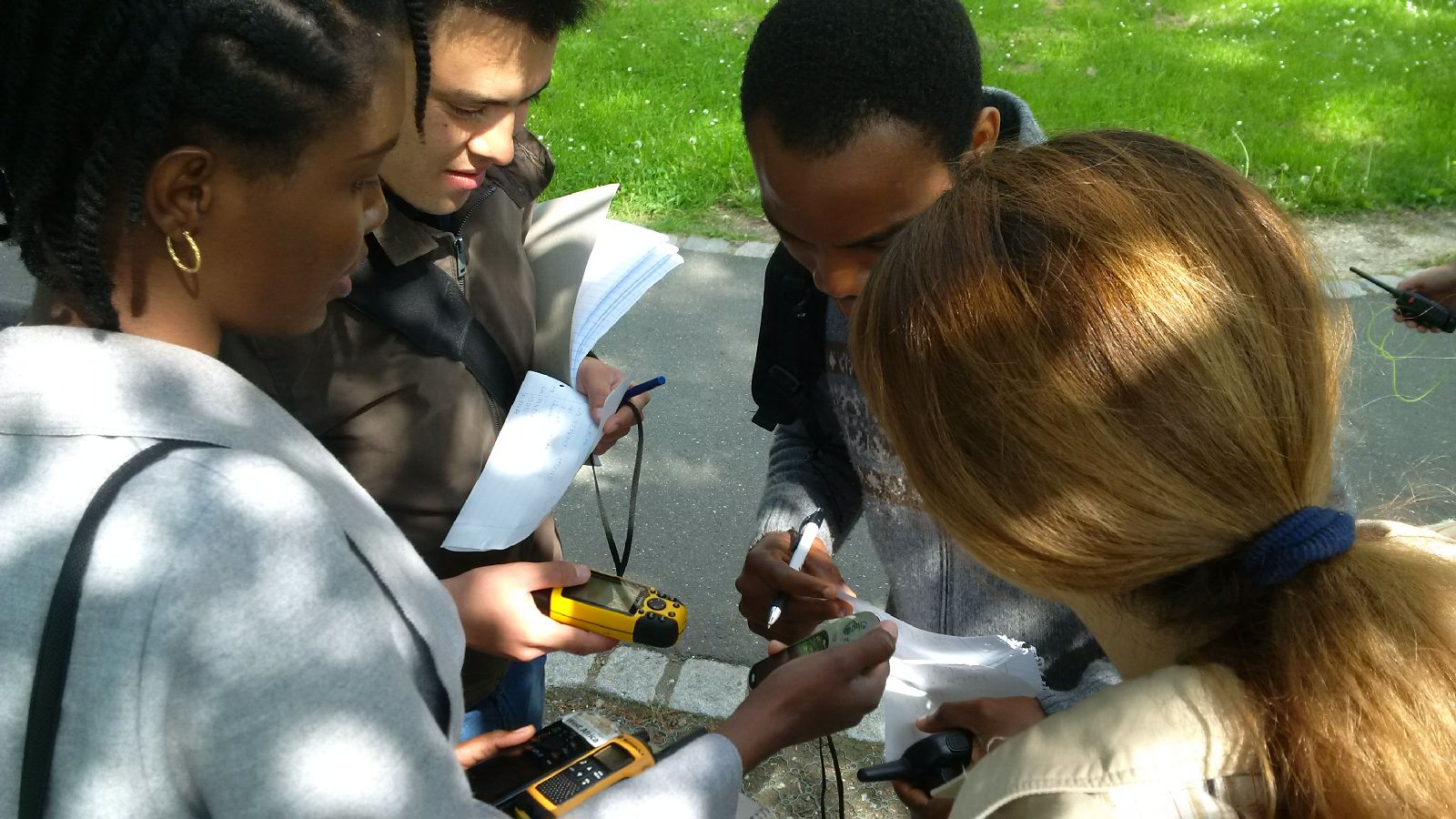
 The course “from field work to spatial data” by Tobias Ullmann and Martin Wegmann is covering the whole range of field campaign planning and especially training all necessary methods such as GPS handling, coordinate systems, setting waypoints or finding locations. In the next weeks the EAGLE students will collect field data, link it to attribute tables, import it into a GIS and create a land cover classification. The final project will be an actual field campaign in the Steigerwald area which they have to design, plan, coordinate and analyze it.
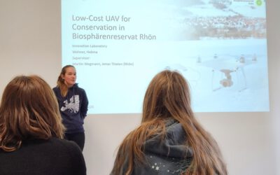
UAS application in a biosphere reserve
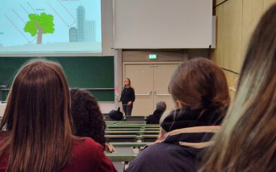
Our EAGLE Helena Wehner presented her work in the Rhoen biosphere reserve where she tested the potential of low cost consumer drones for conservation. She aimed at mapping animal tracks using photogrammetry approaches in snowy landscapes. The structure through...