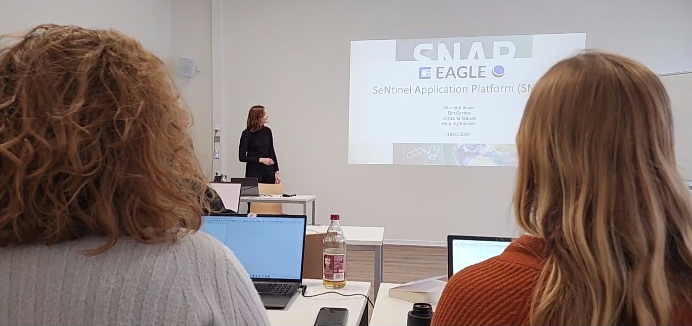
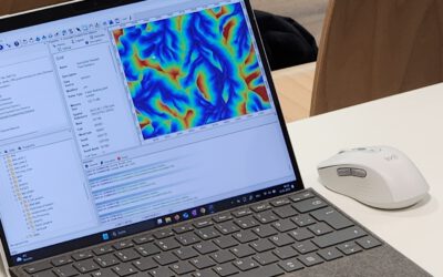
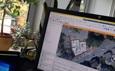
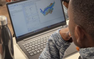
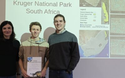
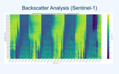
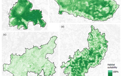
Within the Digital Image Analysis course the students have to plan and organize a 2h lecture with practical examples of predefined software packages and teach their fellow students how each software works using concrete examples and providing data for the processing. Today SNAP was covered by Marlene, Christina, Elin and Henning and they covered very nicely the processing of various Sentinel data sets for different applications like wildfire mapping.
Empowering Future Earth Observation Experts! 🌍
At EAGLE, our Earth Observation students are diving deep into the fascinating world of geospatial analysis! Through hands-on training, they master cutting-edge algorithms and techniques to address pressing environmental challenges such as Georisk Assessment:...

