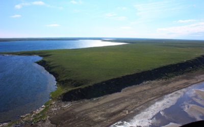
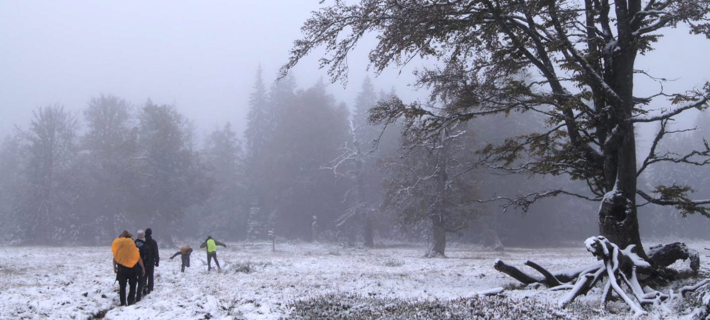
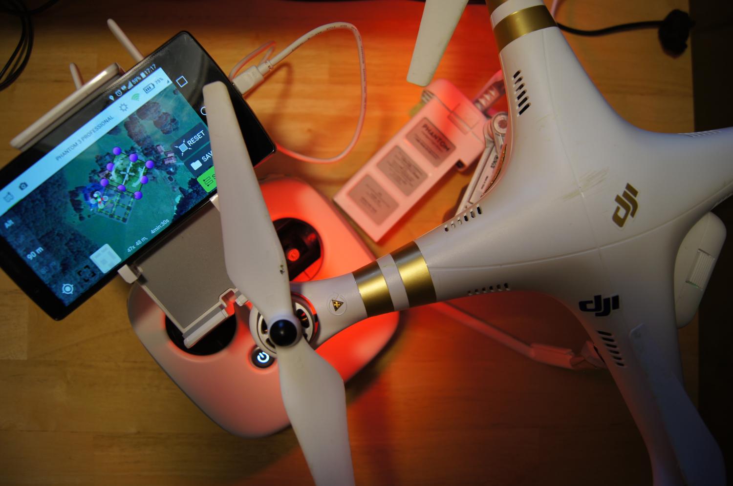
 The course on remote sensing for biodiversity analysis covered 10 days of field work, R coding, testing field methods such as UAVs and lots of hiking in the National Park Bavarian Forest. This year we had sunny and rainy weather and on the peaks also snow which made the field work more challenging. All students learned how to work with spectrometer, GPS, maps or UAVs for defined environmental research questions. Moreover, multispectral, hyperspectral and LiDAR data was available to link to the various field data sets and to conduct spatial data analysis.
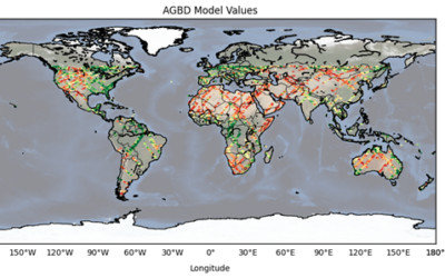
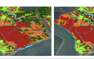
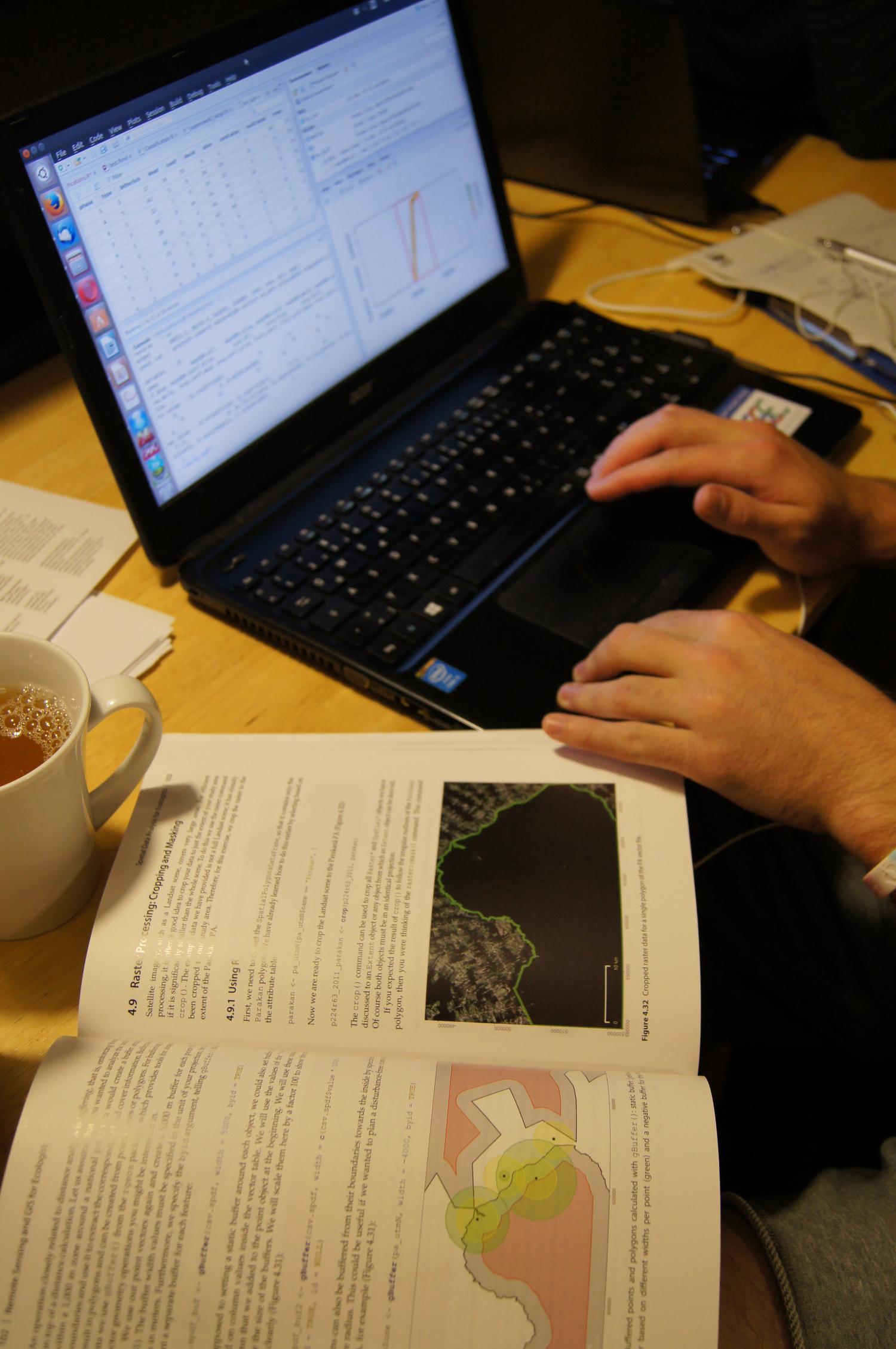 Each student had to work and finish an individual research project within these 10 days and present it at the end. All projects were very good and covered topics such as vertical structure analysis using LiDAR for explaining and modeling beetle diversity or the importance of spatial and spectral resolution on different classification schemes.
All work was done using R and QGIS and many used the book “Remote Sensing and GIS for Ecologists – Using Open Source software” to look up R code and to understand approaches how to combine remote sensing and in-situ data.