
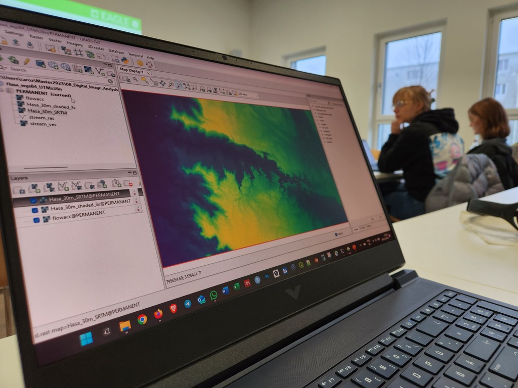
The very powerful and versatile spatial analysis program, GRASS, is introduced today within our EAGLE spatial data software course.
GRASS provides a wide variety of functions, but just a few possibilities such as VI calculation, time-series or Python programming in GRASS are covered. The software could easily fill a whole semester course and is specifially interesting to people working in teams in similar study areas through the internal GRASS data base.
Jean, Gökce, Guiseppe and Wajiha did a great job showing the capabilities of GRASS and break down the complexity of this scientific package for professionals into some very useful and obvious applications.
GRASS provides a wide variety of functions, but just a few possibilities such as VI calculation, time-series or Python programming in GRASS are covered. The software could easily fill a whole semester course and is specifially interesting to people working in teams in similar study areas through the internal GRASS data base.
Jean, Gökce, Guiseppe and Wajiha did a great job showing the capabilities of GRASS and break down the complexity of this scientific package for professionals into some very useful and obvious applications.



![[Spotlight] Lecturer Spotlight: Julian Faeth](https://eagle-science.org/wp-content/uploads/2026/10/Julian_Faeth_EORC_EAGLE_2026-400x250.jpg)




