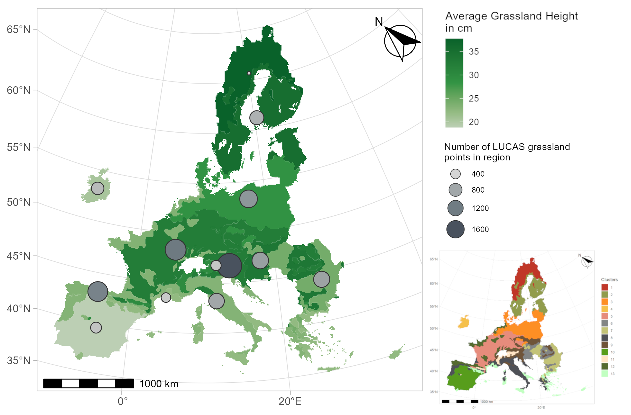
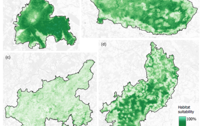
From the abstract: In the face of increasing climate variability, the grassland biomass available as fodder varies considerably across Europe. The overarching goal is to set up an operational model estimating grassland biomass and productivity based on satellite imagery and meteorological data for the EUto address questions like food security and the effects of the changing climate. However, the diverse environmental conditions and grassland management practices across the continent present significant challenges for a generalised model. Therefore, unsupervised clustering based on various environmental inputs-including meteorological, terrain, soil, and vegetation remote sensing data-is employed to delineate regions with similar growing conditions. The underlying hypothesis is that regional models will outperform a general EU-wide model. To test this hypothesis, in-situ grassland height observations distributed all around the EU are used to set up a machine learning regression model with timely consistent Sentinel-2 vegetation indices. The training and test grass height data are part of the brand-new EU Land Use/Cover Area frame Survey (LUCAS) grassland dataset which is evaluated for its applicability in grassland biomass modelling. Despite small improvements due to the regional approach, the resulting RMSE amounts to 17cm with an R² of 0.4. Predicting the biomass of tall grassland stands proves to be more challenging, as these stands often show signs of plant maturity and senescence, complicating the relationship between height and spectral indices. When only grasslands shorter than 60 cm are considered, the RMSE decreases to 10 cm. Overall, average grass height emerges as a promising attribute within the LUCAS grassland dataset for biomass-related applications.
1st supervisor: Prof. Dr. Tobias Ullmann
2nd supervisor: Dr. Mattia Rossi, EURAC

