Katrin Hasenbein will defend her M.Sc. thesis on Thursday 12am on “The potential to enhance land use mapping by leveraging processing methods of time series data”.
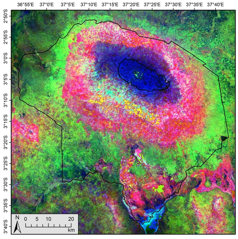
from the abstract: “With the launch of the twin satellites of Sentinel-2 time series data with a high spatial and temporal resolution became available. This data has the potential to fulfil the data requirements needed for the mapping of small scale agro-ecological systems in Africa. In this study the potential of common time series processing methods was assessed. The following time series methods were applied to Sentinel-2 NDVI time series: a) Monthly maximum composites, b) time series statistics c) harmonic regression, d) threshold-based derivation of phenological metrics. The potential of these methods was analysed in regard to its potential to enhance land use mapping at three study sites in Kenya, Tanzania and Mozambique, which are characterized by high levels of cloud contamination and a complex and fragmented landscape composition. Contradictory to previous studies, results showed that the monthly maximum composites outperform the other time series processing methods. Phenological data from harmonic regression and phenological metrics as well as time series statistics can improve the classification result, but alone they are not sufficient to distinguish agro-ecological zones. This leads to the conclusion that simple time series processing methods such as monthly composites should be preferred over more sophisticated methods for classifications in agro-ecological systems that exhibit similar characteristics as used in this study. This study represents an important step towards an reconsideration of time series processing methods when using newly available high resolution time series data.”


