MSc defense Caroline Busse

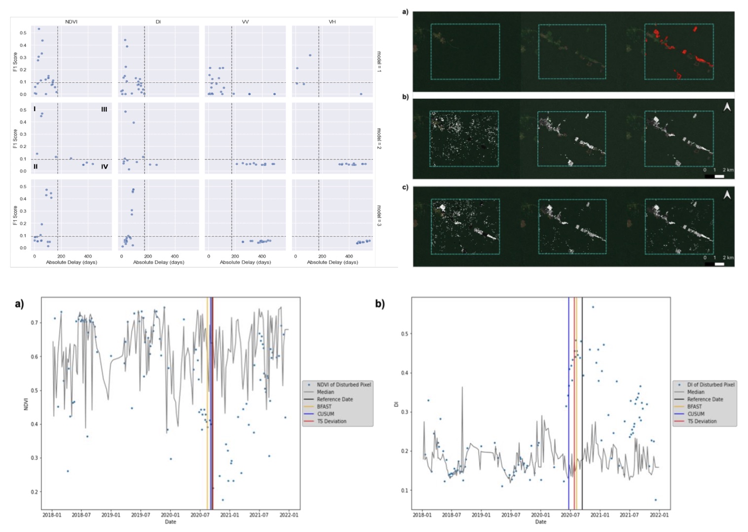
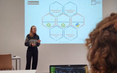
On Tuesday 22nd of November at 1pm we will have the MSc thesis defense by Caroline on “Change Detection using Sentinel-1 and Sentinel-2 Time Series: A Comparison of Models for the Detection of Forest Disturbances.”

from the abstract: “Forests provide essential ecosystem services, such as biodiversity conservation and influencing the global climate system. Increasing frequencies of extreme weather events, as well as human-induced deforestation, pressure these ecosystems and lead to ongoing forest loss at a yearly rate of 4.7 million hectares. Remote sensing has proven to be a crucial tool for analyzing the patterns of these forest loss events at high spatial detail over vast extents. Time series analyses offer means for the early detection of forest disturbances. The goal of this study was to explore the potential of satellite data from optical and radar sources in combination with time series analysis for detecting deforestation in tropical forests. Optical satellite imagery from Sentinel-2 and Synthetic Aperture Radar (SAR) data from Sentinel-1 was applied. Three models combined with two optical vegetation indices and two SAR bands were compared in a benchmarking process. The models applied in this study performed best for the optical Sentinel-2 imagery, specifically the Disturbance Index (DI) combined with the CUSUM model generated the best results. Furthermore, the simpler models CUSUM and time series forecasting based on area-wide averaging showed lower omission errors in the forest loss detection than the more complex BFAST model. While the proposed approaches provide solid methods for deforestation detection in tropical forests, high-quality in- situ measurements from different forest types related to different kinds of disturbance are required for further assessment of the applied methods and data as well as for a more detailed analysis of the underlying drivers of deforestation.”

supervisor: Tobias Ullmann

read more news:

High alpine and snow training

High alpine and snow training

In collaboration with the German Alpine Club (DAV), Laura, one of our EAGLE students and Clara, a student assistant at our institute, recently participated in avalanche rescue training aimed at equipping individuals with essential skills and knowledge to respond...

semester wrap-up by our latest EAGLE generation

semester wrap-up by our latest EAGLE generation

Our latest generation of EAGLEs just wrote a nice blog post summarizing their first months within the EAGLE program, outlining how they bonded and formed a group plus how they experienced their first earth observation courses within our international M.Sc. program:...

International Day of Women and Girls in Science

International Day of Women and Girls in Science

We would like to celebrate the International Day of Women and Girls in Science with you! It is celebrated annually on February 11th. This day aims to promote full and equal access to science for women and girls, as well as to recognize the achievements of women in...

GRASS GIS introduced in our EAGLE MSc

GRASS GIS introduced in our EAGLE MSc

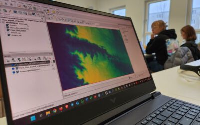
The very powerful and versatile spatial analysis program, GRASS, is introduced today within our EAGLE spatial data software course. GRASS provides a wide variety of functions, but just a few possibilities such as VI calculation, time-series or Python programming in...

Introduction to Whitebox software

Introduction to Whitebox software

The Whitebox geospatial software offers a wide range of functionality which are partly also not available in other packages, such as hydrological analysis or Lidar processing. Our earth observation EAGLE students are learning diverse geospatial software packages in...

Internship Networking event

Internship Networking event

Our EAGLEs have to conduct two internship and like to do them in quite diverse fields. Their research interests range from dry ecosystems to mountains, from conservation to agriculture, from the Arctic to Africa and from Earth Observation companies to large research...