new book by our lecturer “Intro to Spatial Data Analysis”

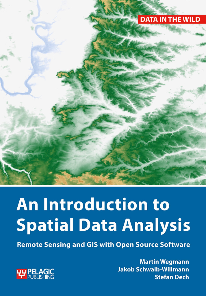
The upcoming book by our lecturer Jakob Schwalb-Willmann, Stefan Dech and Martin Wegmann on “Introduction to Spatial Data Analysis” with QGIS and first steps in R is available for pre-order – order now and get 30% discount.

This textbook aims at students and researchers without any prior knowledge of spatial data analysis. This book will cover all necessary steps for novice users to get started with spatial data analysis. The basics of spatial data (vector, raster, layers, coordinate systems etc.) are covered, as well as actually needed steps to collect field data, convert them into spatial formats, combine it with other spatial data and analyze this data.All steps will be done in QGIS, an open source graphical user interface for spatial data. All fundamental steps to achieve a first spatial data analysis project are outlined with clear explanations and screenshots of the software. The book will end with a first introduction into spatial data analysis with the command line, introducing R.more details here http://book.ecosens.org/gsbook/
read more news:

EAGLE summer dialogue

EAGLE summer dialogue

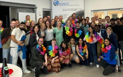
Our annual EAGLE summer dialogue was a great success again even though the weather was quite challenging. The EAGLEs organized a fantastic event with fun activities, great images reviving the last months and years and of course a BBQ, drinks and an outstanding...

new publication by our EAGLE student Clara Vydra

new publication by our EAGLE student Clara Vydra

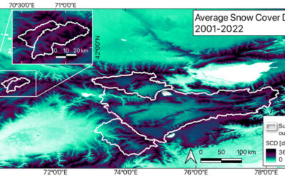
Our EAGLE student Clara just published an article about snow cover variability in Central Asia - great to see our young EAGLE MSc students being on a good track for their scientific career. from the abstract: "Climate change is affecting the snow cover conditions on a...

UAS team – meme

UAS team – meme

The UAS (UAV or drone) team was quite busy the last months to collect data in Europe, Africa or Arctic and the group spend plenty of hours traveling and collecting Lidar, multispectral, thermal or hyperspectral data in various ecosystems. Of course in many cases faced...

scientific graphics course

scientific graphics course

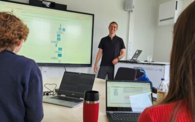
Beside the various remote sensing courses such as radar, cloud computing, terrain analysis, urban analysis etc. we do also offer courses on softskills such as scientific writing, presentations as well scientific graphics and maps. Within our scientific graphics course...

EAGLE students introduce locust spatio-temporal modeling

EAGLE students introduce locust spatio-temporal modeling

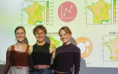
Our EAGLE students Leonie, Sonja and Clara presented methods to model the spatial and temporal distribution of locust in France using statistical modelling approaches within R and the flexSDM package. The elaborated for two hours how the complex data preparation,...