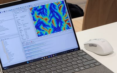
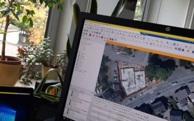
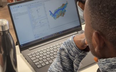
new book by our lecturer “Intro to Spatial Data Analysis”

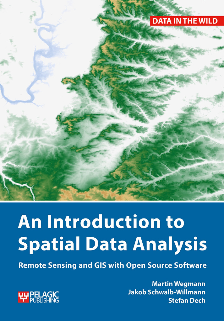
The upcoming book by our lecturer Jakob Schwalb-Willmann, Stefan Dech and Martin Wegmann on “Introduction to Spatial Data Analysis” with QGIS and first steps in R is available for pre-order – order now and get 30% discount.

This textbook aims at students and researchers without any prior knowledge of spatial data analysis. This book will cover all necessary steps for novice users to get started with spatial data analysis. The basics of spatial data (vector, raster, layers, coordinate systems etc.) are covered, as well as actually needed steps to collect field data, convert them into spatial formats, combine it with other spatial data and analyze this data.All steps will be done in QGIS, an open source graphical user interface for spatial data. All fundamental steps to achieve a first spatial data analysis project are outlined with clear explanations and screenshots of the software. The book will end with a first introduction into spatial data analysis with the command line, introducing R.more details here http://book.ecosens.org/gsbook/
read more news:

EAGLE Daria did her internship in Bergen

EAGLE Daria did her internship in Bergen

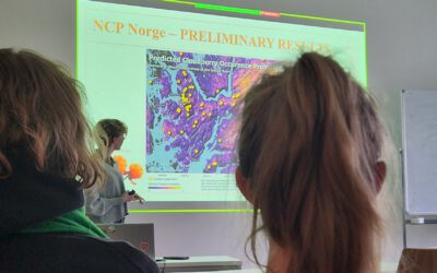
Our EAGLE student Daria recently wrapped up an internship at the University of Bergen in the Remote Sensing research group. With the support of her supervisor, Dr. Benjamin Abreu Robson, she got to work on the Jostedalsbreen glacier using drone and satellite data. Her...

EAGLE alumni Henrik Fisser presenting polar research

EAGLE alumni Henrik Fisser presenting polar research

Our EAGLE alumni Henrik Fisser recently visited us after a research stay in the United States. He is now pursuing his PhD at UiT The Arctic University of Norway, specifically in the Earth Observation Department. UiT is renowned for its cutting-edge research in Earth...

Orfeo Toolbox covered in our courses

Orfeo Toolbox covered in our courses

As part of our international EAGLE MSc courses, we include comprehensive training on the powerful Orfeo Toolbox (OTB) software. OTB is an open-source library for processing remote sensing imagery, offering advanced algorithms for tasks such as image segmentation,...

Internship network fair

Internship network fair

Today, we provided our international Eagle MSc students with access to the professional network of our EORC to assist them in finding suitable internships or MSc thesis topics. Several individuals offered their networks, including Hannes Taubenboeck for georisk and...

GRASS software for Earth Observation

GRASS software for Earth Observation

In our international EAGLE MSc program, we go beyond the limitations of a single programming language or software environment. Our goal is to empower students to leverage a wide range of scientific tools effectively. They gain insight into the strengths and...