Aim
In this seminar, we cover most aspects of remote sensing based assessment of Land Surface Dynamics. Topics such as snow cover dynamics, water body dynamics, forest cover and further vegetation dynamics, urbanization dynamics, coastal dynamics, or dynamics of geophysical parameters such as land surface temperature or selected indices will be addressed. In this contexts we look at opportunities arising from optical-, multi-spectral- and radar sensors, as well as thermal imagery. Data availability and access, as well as typical software tools for the handling of multispectral data or time-series analyses will be addressed as well. The course will consist of a theoretical part and a practical part, where the theory consists of a seminar (written seminar and presentation on a topic to be chosen from a list of available topics), and where the practical will consist of data processing examples.
Content
Topics cover most aspects of remote sensing based assessment of Land Surface Dynamics. Topics such as snow cover dynamics, water body dynamics, forest cover and further vegetation dynamics, urbanization dynamics, coastal dynamics, or dynamics of geophysical parameters such as land surface temperature or selected indices will be addressed. We adress questions such as climate change induced shifts of snow or rainy seasons, look at patterns of forest loss and degradation over time, analyze urbanization patterns and impacts of these processes on the natural environment, and assess changes in coastal morphology. Sensors in focus will be the ones allowing for long time series analyses, such as AVHRR, MODIS, ENVISAT, Landsat, TerraSAR-X, and the Sentinel Satellites.
Coding
Software
Techniques
Content
General Course News and Updates
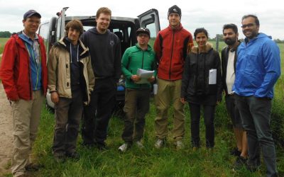
First EAGLE field methods course successfully accomplished
The first field methods course in our EAGLE MSc programme took place in the JECAM test site of DEMMIN-Germany (close to the city of Demmin in Mecklenburg-Vorpommerania) from 12.- 17.6.2017. Six EAGLE students, one colleagues of DLR, Dr. Erik Borg, and two lecturers,...
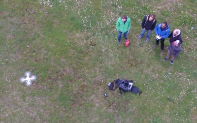
UAV application for remote sensing course started
The course on UAV application for Remote Sensing started successfully. The weather was good enough to do some first flights. In the next weeks and months more flights will be undertaken and data collected for different fields sites in order to gain more information...
application deadline in 7 days
The application deadline for the upcoming winter term is approaching. Apply within the next 7 days here: http://eagle-science.org/apply - application deadline is May 15th, further details about needed documents are listed on the application page. Learn within EAGLE...
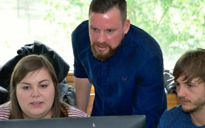
course on object oriented remote sensing analysis
The new term started with the course “Object-oriented image analysis”. It is a hands-on seminar covering eCognition by Dr. Michael Thiel and Dr. Christian Geiss. Christian is an invited guest lecturer from DLR’s Remote Sensing Data Center (Department: Geo-Risks and...
application deadline for winter term 2017 is approaching
Applications for the EAGLE M.Sc. program are accepted until May 15th 2017 for the next winter term. The next application deadline will be only next year, again on May 15th 2018. You need the following documents for your application: a cover letter stating your...
news coverage of one of our students in the University press
One of our students, Pilar Endara, was interviewed by the news team of the University of Würzburg. She talked about her background, the reasons why she studied in Germany, her experiences and her plans for the future. Moreover her reasons why she studies EAGLE and her...
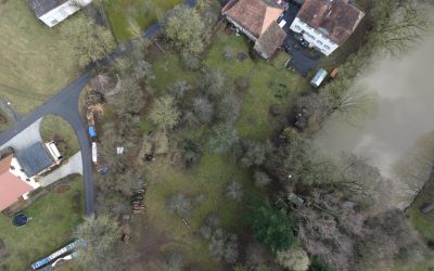
testing UAV and D-GPS application in the Steigerwald
one of our field sites in the Steigerwald For several upcoming EAGLE courses we visited potential field sites and tested our equipment. During this first field work of the year our UAV and D-GPS data collection were tested in the Steigerwald at the research station of...
M.Sc. handed in on animal movement and remote sensing
The M.Sc. thesis “Can animal movement and remote sensing data help to improve conservation efforts?” by Matthias Biber M.Sc. student within the Global Change Ecology program handed in his thesis. He explored the potential of remote sensing data to explain animal...
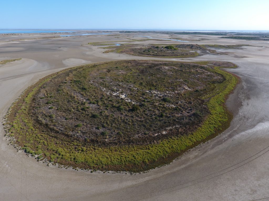
MSc topic on wetland modeling
M.Sc thesis (+ a two-month internship): Agent-based modeling to understand Mediterranean wetland (former saltworks) dynamic based on multiple remote sensing data The Camargue’s former saltworks is a 6500-ha site located at the Mediterranean coast in southern France....
EAGLE students webpage is now online
Our EAGLE students setup their own webpage at http://students.eagle-science.org! Read about their background, motivation and expectations concerning the EAGLE M.Sc. study program. Moreover, the EAGLE students will post news about ongoing social as well as scientific...