Aim
This course provides detailed knowledge of programming or coding using spatial data, especially for remote sensing and GIS tasks.
Content
Different spatial programming approaches are covered using actual remote sensing and GIS data to enable the students to apply a variety of methods in a semi-automatic manner for remote sensing data analysis. All methods will be practically applied during the course using the programming language R and maybe other programs such as GRASS, SAGA, QGIS or OTB. This course continues where the “Programming and Geostatistics” courses stopped and is considered a prerequisite. Both courses are tightly linked
Coding
Software
Techniques
Content
General Course News and Updates
Master Thesis Defense: “Development of Caribbean Seagrass Ecosystem Accounts fusing Earth Observation with Biophysical Modeling of Coastal Carbon” on Tuesday, March 19, 2024
On Tuesday, March 18, at 15:00 Andrea Cárdenas Reyes will present her master thesis on "Development of Caribbean Seagrass Ecosystem Accounts fusing Earth Observation with Biophysical Modeling of Coastal Carbon" in seminar room 3, John-Skilton-Str. 4a. ...
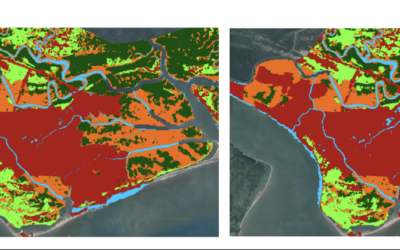
Master Thesis Defense: “Assessing the Mangrove Ecosystem in Eastern Obolo, Niger Delta” on Monday, March 18 at 11:30
On Monday, March 18, at 11:30 Hyeonmin Kang will present her master thesis on "Assessing the Mangrove Ecosystem in Eastern Obolo, Niger Delta" in seminar room 3, John-Skilton-Str. 4a. From the abstract: This study focuses on assessing the mangrove ecosystem in Eastern...
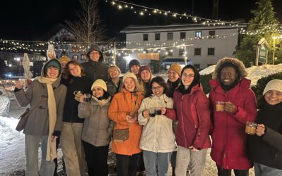
semester wrap-up by our latest EAGLE generation
Our latest generation of EAGLEs just wrote a nice blog post summarizing their first months within the EAGLE program, outlining how they bonded and formed a group plus how they experienced their first earth observation courses within our international M.Sc. program:...
International Day of Women and Girls in Science
We would like to celebrate the International Day of Women and Girls in Science with you! It is celebrated annually on February 11th. This day aims to promote full and equal access to science for women and girls, as well as to recognize the achievements of women in...
Andreas Bury successfully defended his MSc thesis
Andreas Bury successfully defended his MSc thesis "Assessing Air Pollution in Urban Environments: A Comprehensive Analysis Using Earth Observation and In Situ Measurements" at the EAGLE colloquium on the 8th of March 2024. His research offers an approach to...
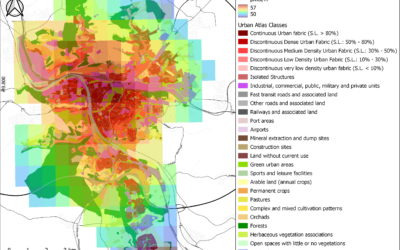
Master Thesis Defense: “Assessing Air Pollution in Urban Environments: A Comprehensive Analysis Using Earth Observation and In Situ Measurements” on Friday, March 08 at 13:00
On Friday, March 08, at 13:00, Andreas Bury will present his master thesis on "Assessing Air Pollution in Urban Environments: A Comprehensive Analysis Using Earth Observation and In Situ Measurements" in seminar room 3, John-Skilton-Str. 4a. From the...
Internship Report by Sharmin Shara Mim on February 27 at 12:30 p.m.
On Tuesday, February 27 at 12:30 Sharmin Shara Mim will present her internship report on global aquaculture production (seminar room 3, John-Skilton-Str. 4a). From the abstract: Global aquaculture production has been increasing recently. Asia has a positive...
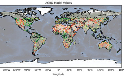
Master Thesis Defense: “CNN-based Global Aboveground Biomass Estimation using Sentinel-2 and GEDI” on Tuesday, March 12, 2024
On Tuesday, March 12, at 12:00 Ka Hei Chow will present her master thesis on " CNN-based Global Aboveground Biomass Estimation using Sentinel-2 and GEDI" in seminar room 3, John-Skilton-Str. 4a. Abstract: Accurate global estimation of aboveground biomass...
High alpine and snow training
In collaboration with the German Alpine Club (DAV), Laura, one of our EAGLE students and Clara, a student assistant at our institute, recently participated in avalanche rescue training aimed at equipping individuals with essential skills and knowledge to respond...
Internship Presentation on February 27 at 12:00 p.m.
On Tuesday, February 27 at 12:00 Luisa Pflumm will present her innolab report on developing a processing pipeline to produce photogrammetry products in UAS acquired imagery using Agisoft Metashape software (seminar room 3, John-Skilton-Str. 4a). The work of the...
