Aim
The participants will get familiar with the methological skills and processing chain for the analysis of polarimetric synthetic aperture radar (PolSAR) and Polarimetric SAR Interferometry (PolInSAR) data.
Content
The module encompasses the following practical topics:
- Processing of sentinel-1 radar SLC and GRD data for retrieving the biophysical parameters of different crop types and soil.
- Processing of quad pol (full polarization) of RADARSAT2 satellite data and AIRSAR full polarimetric photogrammetric data acquired by airplane to get familiar with the decomposition concept.
- Processing of Tandem-X bistatic mode to retrieve the forest height and biomass.
General Course News and Updates
UAS application in a biosphere reserve
Our EAGLE Helena Wehner presented her work in the Rhoen biosphere reserve where she tested the potential of low cost consumer drones for conservation. She aimed at mapping animal tracks using photogrammetry approaches in snowy landscapes. The structure through...
Online RStoolbox bug code sprint
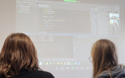
Our new maintainer, konstantin Mueller, one of our EAGLE students, migrated the remote sensing R package to sf, terra/stars and got it back onto cran. However, as usual various bugs are still around and during our eagle remote sensing programming lecture the youngest...
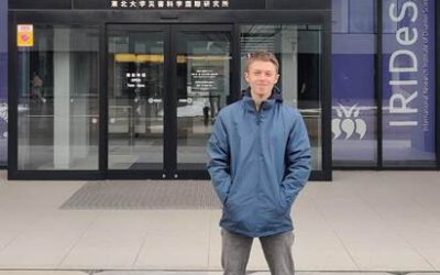
EAGLE student Konstantin Müller is a guest scientist in Japan
Our EAGLE student Konstantin Müller is a guest scientist at The International Research Institute for Disaster Science (IRIDeS) in Japan The IRIDeS is dedicated to advancing research and understanding in the realm of disaster science. Situated in Japan, IRIDeS plays an...
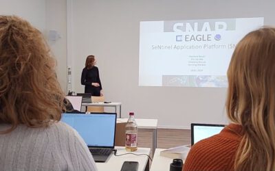
EAGLEs learn SNAP
Various very specific scientific software packages are developed to serve specific purposes like the SNAP tools for Sentinel fleet data processing. Our EAGLEs have to learn the wealth of relevant software packages for our field of research and get to know the pros and...
our EAGLEs train SAGA GIS
Within our EAGLE MSc program our students are learning quite a variety of programming environments and software programs, however due to the high diversity of available (open-source) programs our students have to apply their spatial research skills to learn a totally...
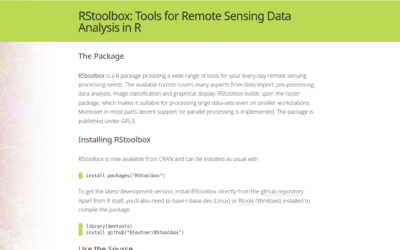
RStoolbox now maintained by our EAGLE Konstantin Müller
we are very happy that our EAGLE Konstantin Müller took over the maintenance and further development of the remote sensing R stats package RStoolbox. Of course the "older" developers like Jakob Schwalb-Willmann (also an old EAGLE) and Benjamin Leutner (also our old...
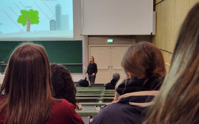
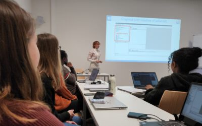
EAGLE students train scientific presentations
Within our scientific presentation course within the EAGLE Msc our students also have to learn how deliver good scientific presentation within a large lecture room and for a larger crowd of scientists. Therefore we expose them to the large number of bsc students...
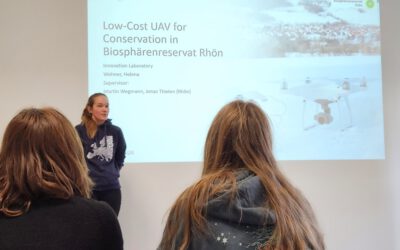
Inno Lab Report by Helena Wehner on January 23rd at 12:30 p.m.
On Tuesday, January 23rd at 12:30 Helena Wehner will present her inno lab report "Low-Cost UAV for Conservation in the Conservation area „Biosphärenreservat Rhön"" (seminar room 3, John-Skilton-Str. 4a). Hosting Institution: Biosphärenreservat Rhön Supervisors: Jonas...
Internship Report by Luis David Almeida Famada
On Tuesday, January 23rd at 12:00 a.m. Luis David Almeida Famada will present his internship report at DLR " "Land Use and Resource Management" Hosting Institution: DLR – Deutsches Zentrum für Luft- und Raumfahrt Supervisors: Dr. Soner Üreyen, Deutsches Luft- und...
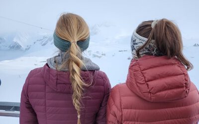
EAGLEs high up in the mountains
Some of our EAGLEs went up to the research station on the highest mountain of Germany to explore the research activities conducted in this area and discuss what remote sensing can contribute. The met ecologists, botanists and other disciplines and learned what Earth...