Aim
In this module you will gain a detailed understanding of the advantages and challenges of Earth observation using Light Detection and Ranging (LiDAR) systems. Compared to other types of remote sensing data, the data from active Light Detection and Ranging (LiDAR) systems is of particular importance for local studies, where the 3D component (height) of objects is of relevance. Commonly LiDAR data is applied it in the field of digital terrain modelling, in forestry – e.g. for canopy height assessment, or urban structure applications. LiDAR embraces a range of active remote sensing systems mounted on different platforms, which provide valuable information for characterization of horizontal and vertical structure of the earth surface by measuring the travel time of laser pulses in visible and near-infrared spectral domains. The quality of scanning depends on the nature of the LIDAR system (discrete-return or full waveform) as well as on a set of other terrain- and data-driven factors. This course provides you with an overview on the theory and applications of LiDAR data, with a particular focus on airborne laser scanning. Following the initial theoretical sections on the principles and basic characteristics of LiDAR data, diverse practical steps and exercises will be implemented to provide real-world examples to illustrate how the LiDAR point clouds can be applied to extract information on terrain, surface and vegetation. These information will be further employed to model vegetation structural attributes on multiple spatial scales ranging from single trees to landscape levels.
Content
Block 1: Introduction to LiDAR (how does laser scanning work?)
- Reminder on general remote sensing issues: difference between active and passive sensing
- History of LiDAR measurements
- Basics of LiDAR data measurements (platforms, sensors)
- Airborne vs. spaceborne LiDAR: history, applications and data access
- Measurement of travel time of laser light (pulsed time of flight)
- On the concept of “structure”: why a third dimension is crucial?
Block 2: Principles of LiDAR measurements
- Platform navigation, orientation and positioning
- Difference between types of data acquisitions: discrete return and echo waveform
- The recorded parameters: elevation, height, signal intensity and co.
- The concept of „single-pulse“ vs. „multiple-pulse“
- How are the incoming returns recorded? first come- first served!
- Terrestrial LiDAR measurement: one position, rotating scanner
- Data formats and big data-management: each byte matters!
Block 3: Elevation models:
- General thoughts: why are the elevation models essential?
- Digital terrain models
- Digital surface models
- Normalized DSM (Canopy height models)
- Application fields: Forest, landscape and habitat representations
- Magnified focus on Forest (basic and derived parameters): Diameter at breast height, height, tree type proportions, tree type mapping, crown closure, stem count, growing stock und aboveground biomass
- Single tree measurements
- Urban: City models, roof top and building footprints
Block 4: Exercises in Open-Source domain of LiDAR data processing (Fusion/LDV, LASTools, R)
- Exercises on point cloud processing
- Import, export, visualizations and rendering
- Sample measurements, single tree measurements and associated tasks
- Elevation models
- Data trimming, cropping, smoothing and generalizing
- Catalog and descriptive communication
- Extraction of metrics for modeling purposes
- Thoughts on metrics
- Intensity: yes or no?
- Multi-scale metric extraction
- Multi-source metric extraction
- Class works and workshops (CIP-Pool/Homework)
- Literature review, discussion groups and public presentations
Coding
Coding examples and individual work will be covered
Software
Various software programs will be used, but mainly OpenSource software such as R.
Techniques
Different techniques will be introduced and practically applied.
Content
The content of scientific with regard to the audience will be discussed.
General Course News and Updates
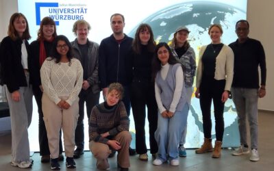
EAGLE course by Dr. Celia Baumhoer on Polar and Glacier Earth Observation
Our EAGLE students had this week the opportunity to attend an intensive course led by Dr. Celia Baumhoer, an expert in Earth observation of polar and glacier ecosystems. The course, which covered both the Antarctic and Arctic regions, as well as glaciers in the Alps,...
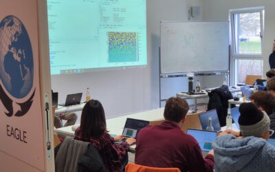
EAGLE Students Explore LiDAR Data with QGIS, Whitebox, and CloudCompare
At EAGLE, our students continuously expand their expertise in Earth observation by learning various data processing techniques. Today, they are diving into LiDAR data analysis, using QGIS, Whitebox, and CloudCompare to enhance their skills in handling different remote...
Exploring Whitebox Tools: EAGLE Students Dive into Geomorphology and Hydrology Applications in QGIS
In the world of Earth observation and geospatial analysis, staying ahead of the curve requires familiarity with the diverse environments and various powerful scientific software tools. At EAGLE, our students have the opportunity to also explore the vast potential of...
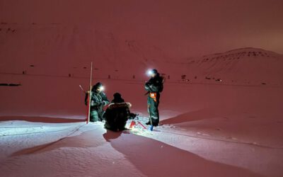
Exploring the Arctic: Eagle MSC Students Lena and Ronja Conducting UAS Research
The Arctic is one of the most extreme and fascinating environments on Earth, offering an unparalleled opportunity for scientific research. For Eagle MSC students Lena and Ronja, this unique landscape is not just a place of study—it's also an unforgettable adventure....
Integrating R and Whitebox Tools for Geospatial Analysis
Within the EAGLE M.Sc. program our Earth Observation students have managed to understand some important research approaches within just the first term of their studies. Integrating and working with several environments simultaneously is a critical tasks for their...
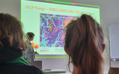
Mapping NCPs in Norway: An Internship Presentation by Sonja Maas
On January 28, 2025, Sonja Maas delivered an insightful presentation on her internship project titled "Mapping Ecosystem Services in Norway." Hosted by the University of Bergen, this internship focused on the critical role that nature plays in supporting human...
Our Eagles Soar in Remote Sensing: A Look Back at Their Successful Scientific Presentation Course
We are thrilled to share the amazing achievements of our talented students who recently completed their scientific presentation course with flying colors. Our eagles had the exciting opportunity to introduce over 100 BSc students to the world of remote sensing,...
EAGLE Internship Presentation “Effect of Semicircular Bunds for Soil moisture conservation in Ethiopia”
On January 28, 2025, Suriya Elango will present his internship on "Effect of Semicircular Bunds for Soil moisture conservation in Ethiopia" at 12:00 in seminar room 3, John-Skilton-Str. 4a. From the abstract: This study assessed the impact of semi-circular soil...
Empowering Future Earth Observation Experts! 🌍
At EAGLE, our Earth Observation students are diving deep into the fascinating world of geospatial analysis! Through hands-on training, they master cutting-edge algorithms and techniques to address pressing environmental challenges such as Georisk Assessment:...
Marlene and Anna did their internship with Nature Seychelles
In a collaboration that highlights the intersection of technology and ecological preservation, Marlene Bauer and Anna Bischof, EAGLE M.Sc. students in Earth Observation, have engaged in a significant internship with Nature Seychelles. Their tenure on the scenic island...

