Master Thesis Defense: “Flood susceptibility mapping using remote sensing and geospatial data in West Africa “

On Tuesday, April 30, at 12:00 Wilmer Fabián Montién Tique will present his master thesis on ” Flood susceptibility mapping using remote sensing and geospatial data in West Africa ” in 01.B.03 Meeting Room 1st Floor,  John-Skilton-Str. 4a.
Abstract: Floods in West Africa represent a challenging risk scenario that requires comprehensive action from stakeholders and the local community. To this end, precise and up-to-date data, alongside periodic hazard, susceptibility, and risk mapping, are crucial to understand flood disasters for decision-making. Hence, this master thesis aims to obtain flood susceptibility maps in West Africa, specifically Nigeria, through open data, remote sensing, GIS, machine learning, and statistical approaches. First, four Digital Elevation Models from different sources and four hydrological methods (D8, D-inf, Fd8, and Rho8) were combined and compared, and used to get the most applied topographic and hydrographic flood-influencing factors. At the same time, other factors derived from land cover, groundwater, soil, lakes, and coastline datasets were included. Secondly, preprocessing and feature selection were applied to the flood-influencing factors. Then, three different models were implemented to compare their performance. The selected models were Random Forest, Binary Logistic Regression, and Linear Discriminant Analysis; in this way, R and WhiteboxTools were used for the data preparation and modeling. Therefore, the produced flood susceptibility maps with the highest accuracy were evaluated with reference data (flood events between September and October 2022) provided by the DLR and Global Flood Monitoring. Lastly, the exposed population in 2020 was quantified along with the projected population in 2025 and 2030 displaying the most affected states in Nigeria.
1st Supervisor: Dr. Marta Sapena-Moll (DLR) 2nd Supervisor: Prof. Dr. Hannes Taubenböck, Universität Würzburg

read more news:

EAGLE Daria did her internship in Bergen

EAGLE Daria did her internship in Bergen

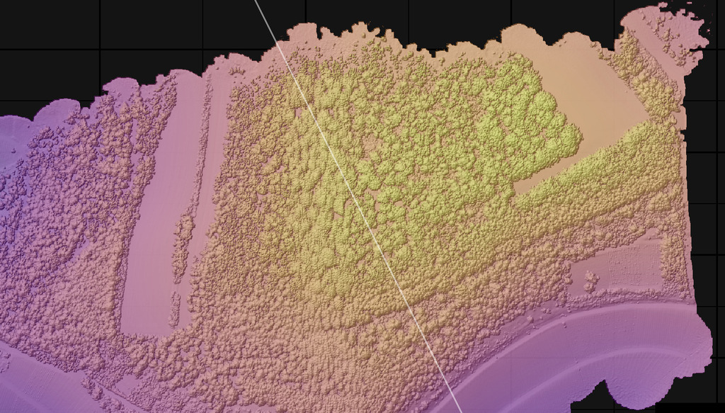
Our EAGLE student Daria recently wrapped up an internship at the University of Bergen in the Remote Sensing research group. With the support of her supervisor, Dr. Benjamin Abreu Robson, she got to work on the Jostedalsbreen glacier using drone and satellite data. Her...

EAGLE alumni Henrik Fisser presenting polar research

EAGLE alumni Henrik Fisser presenting polar research

Our EAGLE alumni Henrik Fisser recently visited us after a research stay in the United States. He is now pursuing his PhD at UiT The Arctic University of Norway, specifically in the Earth Observation Department. UiT is renowned for its cutting-edge research in Earth...

Orfeo Toolbox covered in our courses

Orfeo Toolbox covered in our courses

As part of our international EAGLE MSc courses, we include comprehensive training on the powerful Orfeo Toolbox (OTB) software. OTB is an open-source library for processing remote sensing imagery, offering advanced algorithms for tasks such as image segmentation,...

Internship network fair

Internship network fair

Today, we provided our international Eagle MSc students with access to the professional network of our EORC to assist them in finding suitable internships or MSc thesis topics. Several individuals offered their networks, including Hannes Taubenboeck for georisk and...

GRASS software for Earth Observation

GRASS software for Earth Observation

In our international EAGLE MSc program, we go beyond the limitations of a single programming language or software environment. Our goal is to empower students to leverage a wide range of scientific tools effectively. They gain insight into the strengths and...