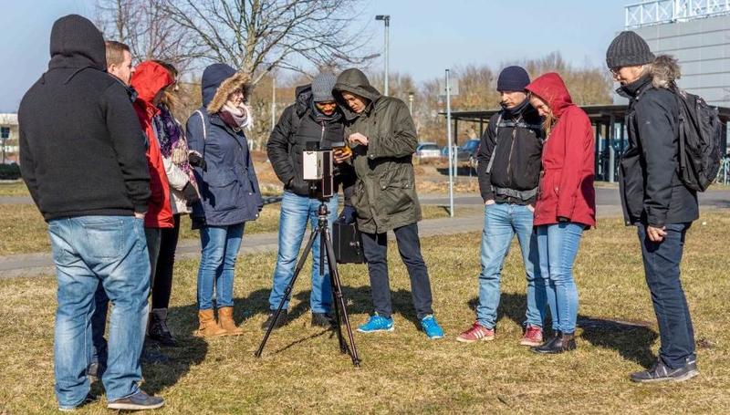
 In the past few weeks various block courses by colleagues from DLR have taken place. Divers topics how remote sensing can be used, which methods have to be applied and how to put it into practice were covered by our colleagues Hannes Taubenböck, Martin Bachmann and Andreas Dietz. Another block course will focus on
 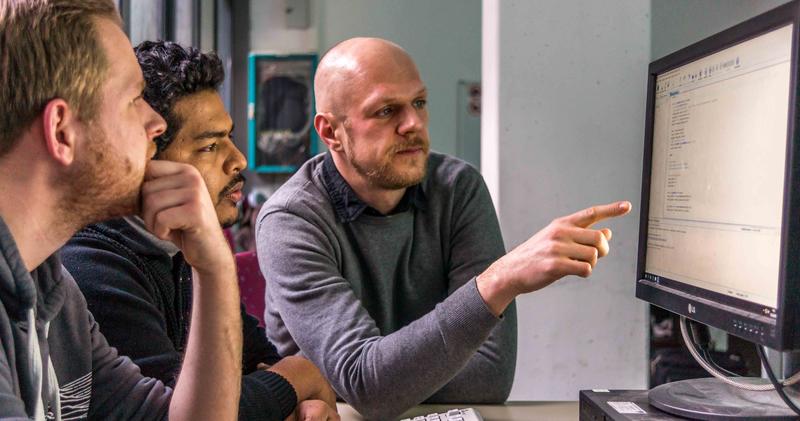 python programming for spatial data analysis and later in April object oriented classifications and advanced spatial analysis for geoscientists will be offered as block course before the actual summer term starts again with the regular courses.

EAGLE MSc Defense: New Housing Development Areas: Assessing Structural Types and Environmental Effect
On September 22, 2026, Agnes Zwick will present her Master Thesis on " New Housing Development Areas: Assessing Structural Types and Environmental Effect" at 10:00 at the seminar room 3 in John-Skilton-Str. 4a. From the abstract: Germany faces a persistent tension...






![[spotlight] Lecturer Spotlight: Martin Wegmann](https://eagle-science.org/wp-content/uploads/2026/07/Martin_Wegmann_EAGLE_lecture_2026-400x250.jpg)