Aim
The main idea of the course is not only to make some fancy analysis, but also for students to organize themselves and evaluate which analysis makes sense within the limited time frame, as there will be no further tasks or time after the “hackathon” week. On the other hand, students will experience what is possible within one week of concentrated working effort, especially when organizing themselves well.
Content
The course is structured like a hackathon. On the first day some general introduction into the topic (Permafrost) is given and relevant research questions are discussed. Students can organize themselves in teams if desired and each student/team works on an individual topic from here on out. Every day a quick feedback round will be held where each team presents their current status and goal for the day/week, which will be shortly discussed in the group. On the last day the results of each topic will be presented.
Coding
Coding examples and individual work will be covered
Software
Various software programs will be used, but mainly OpenSource software such as R.
Techniques
Different techniques will be introduced and practically applied.
Content
The content of scientific with regard to the audience will be discussed.
General Course News and Updates
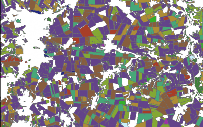
Object based sequential masking classification using SAR and optical data
Remote sensing based crop mapping is still challenging when just relying on optical information as the only data source. Due to the unavailability of adequate optical satellite images the integration of SAR is promising and can be explored within an innovation...
Radiometric calibration, speckle reduction, geometric and terrain correction are essential preprocessing steps for SAR data. Within an innovation laboratory you will explore the different calibration and data preparation techniques for ground detected and single look...
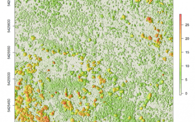
Surface model creation from multi-source remote sensing data
Nowadays there are plenty of 3D data sources which offer the possibility to model and monitor structural attributes of the landscape via the derivation of terrain, surface and canopy models. The core idea of this research project within an innovation laboratory is to...


