Aim
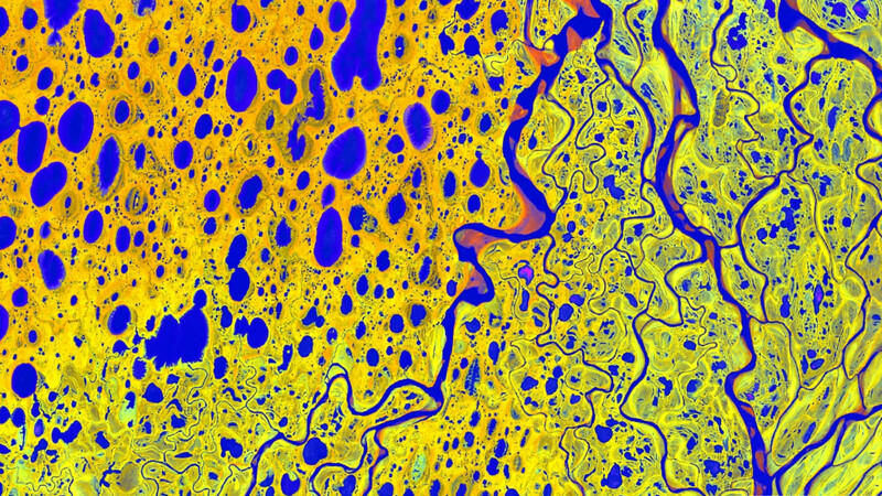
In this module you will gain a detailed understanding of the advantages and challenges of Earth observation using Light Detection and Ranging (LiDAR) systems. Compared to other types of remote sensing data, the data from active Light Detection and Ranging (LiDAR) systems is of particular importance for local studies, where the 3D component (height) of objects is of relevance. Commonly LiDAR data is applied it in the field of digital terrain modelling, in forestry – e.g. for canopy height assessment, or urban structure applications. LiDAR embraces a range of active remote sensing systems mounted on different platforms, which provide valuable information for characterization of horizontal and vertical structure of the earth surface by measuring the travel time of laser pulses in visible and near-infrared spectral domains. The quality of scanning depends on the nature of the LIDAR system (discrete-return or full waveform) as well as on a set of other terrain- and data-driven factors. This course provides you with an overview on the theory and applications of LiDAR data, with a particular focus on airborne laser scanning. Following the initial theoretical sections on the principles and basic characteristics of LiDAR data, diverse practical steps and exercises will be implemented to provide real-world examples to illustrate how the LiDAR point clouds can be applied to extract information on terrain, surface and vegetation. These information will be further employed to model vegetation structural attributes on multiple spatial scales ranging from single trees to landscape levels.
Content
Block 1: Introduction to LiDAR (how does laser scanning work?)
- Reminder on general remote sensing issues: difference between active and passive sensing
- History of LiDAR measurements
- Basics of LiDAR data measurements (platforms, sensors)
- Airborne vs. spaceborne LiDAR: history, applications and data access
- Measurement of travel time of laser light (pulsed time of flight)
- On the concept of “structure”: why a third dimension is crucial?
Block 2: Principles of LiDAR measurements
- Platform navigation, orientation and positioning
- Difference between types of data acquisitions: discrete return and echo waveform
- The recorded parameters: elevation, height, signal intensity and co.
- The concept of „single-pulse“ vs. „multiple-pulse“
- How are the incoming returns recorded? first come- first served!
- Terrestrial LiDAR measurement: one position, rotating scanner
- Data formats and big data-management: each byte matters!
Block 3: Elevation models:
- General thoughts: why are the elevation models essential?
- Digital terrain models
- Digital surface models
- Normalized DSM (Canopy height models)
- Application fields: Forest, landscape and habitat representations
- Magnified focus on Forest (basic and derived parameters): Diameter at breast height, height, tree type proportions, tree type mapping, crown closure, stem count, growing stock und aboveground biomass
- Single tree measurements
- Urban: City models, roof top and building footprints
Block 4: Exercises in Open-Source domain of LiDAR data processing (Fusion/LDV, LASTools, R)
- Exercises on point cloud processing
- Import, export, visualizations and rendering
- Sample measurements, single tree measurements and associated tasks
- Elevation models
- Data trimming, cropping, smoothing and generalizing
- Catalog and descriptive communication
- Extraction of metrics for modeling purposes
- Thoughts on metrics
- Intensity: yes or no?
- Multi-scale metric extraction
- Multi-source metric extraction
- Class works and workshops (CIP-Pool/Homework)
- Literature review, discussion groups and public presentations
Coding
Coding examples and individual work will be covered
Software
Various software programs will be used, but mainly OpenSource software such as R.
Techniques
Different techniques will be introduced and practically applied.
Content
The content of scientific with regard to the audience will be discussed.
General Course News and Updates
MSc defense of Basil Tufail
Basil Tufail will present his M.Sc. thesis "Monitoring the Displacement of an Active Tailings Dam in Peru using Persistent Scatterer Interferometry (PS-InSAR)" on Friday, June 18th, at 9am. From the abstract: "As mining activities and the number of tailings dam grow...
MSc defense by Magdalena Halbgewachs
Magdalena Halbgewachs will present her MSc thesis "A Spectral Mixture Analysis and Landscape Metrics based framework for monitoring spatio-temporal forest cover changes: A case study in Mato Grosso, Brazil" on Wednesday 16th of June at 9am. From the abstract: More and...
Review of applications
Dear all applicants in 2021, we are currently working through the first evaluation of all 230 applications and will send out invitations for interviews in the next days/weeks. Unfortunately we are a bit delayed due to the high number of applications and we want to...
MSc thesis defense by Johannes Mast
Johannes Mast will present his thesis "Analyzing the relationship between urban morphology and economic subcenters with a focus on urban polycentricity using remote sensing and socioeconomic data" on Monday 14th of June at 9am. From the abstract: "Polycentricity...

high number of application submitted for 2021
The application deadline for the 2021 EAGLE generation passed yesterday and 230 application were submitted. That are 80 more than last year. Check out who started in the 2020 EAGLE generation here. We are now going through each single one and check for general...
EAGLE 2021 application deadline approaching
the application deadline for our international Earth Observation M.Sc. program EAGLE is slowly approaching. Apply before May 15th to be reviewed and potentially interviewed for a place in the 2021 EAGLE group. Check out our courses, our lecturer and most important...

Internship, inno lab and MSc idea presentations
On Thursday, May 20th, at 2pm the following students will present their internship, inno lab or MSc thesis idea: Christopher Chan:“Patching up old Deep Learning code and working with data center remotely” (Internship with DLR, supervisor Benjamin Leutner) Diego...
inno lab and MSc idea presentation
Next Tuesday, April 27th, at 10am the following EAGLE students will present their Innovation Laboratory work and their MSc thesis idea: Sandro Groth: "PortalAdminTools: A Python-based programming interface for Esri Enterprise infrastructures" (InnoLab with ESRI)Sandro...
internship and MSc idea presentation
on Tuesday April 6th 3pm we will have the folling internship and MSc idea presentations: Joy-Giovanni Matabishi, " MESMA of DESIS data to identify Rooftops in Kigali"- Internship/EKUT Luisa Pflumm, "Comparison of the performance of different accessibility layers for...
internship presentations
On Monday March 1st at 10am the following internships will be presented: Marius Witt, Baby it's cold outside - Interning at DLRs Polar Team, internship at DLR. Jakob Wachter, Potential use cases of a self established database for social media data, internship at...