Aim
In this module you will gain a detailed understanding of the advantages and challenges of Earth observation using Light Detection and Ranging (LiDAR) systems. Compared to other types of remote sensing data, the data from active Light Detection and Ranging (LiDAR) systems is of particular importance for local studies, where the 3D component (height) of objects is of relevance. Commonly LiDAR data is applied it in the field of digital terrain modelling, in forestry – e.g. for canopy height assessment, or urban structure applications. LiDAR embraces a range of active remote sensing systems mounted on different platforms, which provide valuable information for characterization of horizontal and vertical structure of the earth surface by measuring the travel time of laser pulses in visible and near-infrared spectral domains. The quality of scanning depends on the nature of the LIDAR system (discrete-return or full waveform) as well as on a set of other terrain- and data-driven factors. This course provides you with an overview on the theory and applications of LiDAR data, with a particular focus on airborne laser scanning. Following the initial theoretical sections on the principles and basic characteristics of LiDAR data, diverse practical steps and exercises will be implemented to provide real-world examples to illustrate how the LiDAR point clouds can be applied to extract information on terrain, surface and vegetation. These information will be further employed to model vegetation structural attributes on multiple spatial scales ranging from single trees to landscape levels.
Content
Block 1: Introduction to LiDAR (how does laser scanning work?)
- Reminder on general remote sensing issues: difference between active and passive sensing
- History of LiDAR measurements
- Basics of LiDAR data measurements (platforms, sensors)
- Airborne vs. spaceborne LiDAR: history, applications and data access
- Measurement of travel time of laser light (pulsed time of flight)
- On the concept of “structure”: why a third dimension is crucial?
Block 2: Principles of LiDAR measurements
- Platform navigation, orientation and positioning
- Difference between types of data acquisitions: discrete return and echo waveform
- The recorded parameters: elevation, height, signal intensity and co.
- The concept of „single-pulse“ vs. „multiple-pulse“
- How are the incoming returns recorded? first come- first served!
- Terrestrial LiDAR measurement: one position, rotating scanner
- Data formats and big data-management: each byte matters!
Block 3: Elevation models:
- General thoughts: why are the elevation models essential?
- Digital terrain models
- Digital surface models
- Normalized DSM (Canopy height models)
- Application fields: Forest, landscape and habitat representations
- Magnified focus on Forest (basic and derived parameters): Diameter at breast height, height, tree type proportions, tree type mapping, crown closure, stem count, growing stock und aboveground biomass
- Single tree measurements
- Urban: City models, roof top and building footprints
Block 4: Exercises in Open-Source domain of LiDAR data processing (Fusion/LDV, LASTools, R)
- Exercises on point cloud processing
- Import, export, visualizations and rendering
- Sample measurements, single tree measurements and associated tasks
- Elevation models
- Data trimming, cropping, smoothing and generalizing
- Catalog and descriptive communication
- Extraction of metrics for modeling purposes
- Thoughts on metrics
- Intensity: yes or no?
- Multi-scale metric extraction
- Multi-source metric extraction
- Class works and workshops (CIP-Pool/Homework)
- Literature review, discussion groups and public presentations
Coding
Coding examples and individual work will be covered
Software
Various software programs will be used, but mainly OpenSource software such as R.
Techniques
Different techniques will be introduced and practically applied.
Content
The content of scientific with regard to the audience will be discussed.
General Course News and Updates
internship and innovation laboratory presentations
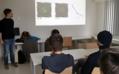
The following internship and innovation laboratory projects were presented today: Karsten Wiertz did his internship at the Białowieza national park on "Spatio-temporal analysis of tree mortality and gaps in the Białowieza Forest using high resolution imagery". Jakob...
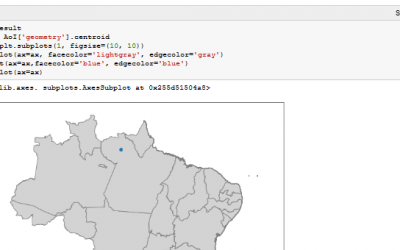
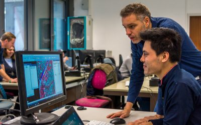
Spatial Python block course
Last week Steven Hill and Thorsten Dahms gave a course that introduced EAGLE students to Python-based spatial data analysis. The advantages and challenges of different python libraries, data sets and methods were covered in hands-on exercises and also discussed...
Interdisciplinary course in the Bavarian Forest
The Bavarian Forest and the Bohemian Forest together form the largest contiguous forest area in central Europe, which is of an extraordinary importance for the protection and maintenance of biological diversity. Since 1970, a large area of the forest is protected as a...
One week courses on hyperspectral and time-series analysis
In the past few weeks various block courses by colleagues from DLR have taken place. Divers topics how remote sensing can be used, which methods have to be applied and how to put it into practice were covered by our colleagues Hannes Taubenböck, Martin Bachmann and...
Urban Geography Course by Hannes Taubenböck
Hannes Taubenböck from DLR discussed with our EAGLE students the application of remote sensing applications within urban research.
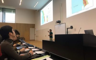
Scientific Presentation of Earth Observation Applications
As every term our students could participated in a scientific presentation course where they learned how to prepare, design and defend a scientific talk. Beside the theoretical part many practical exercises were part of this course and a final presentation in a large...
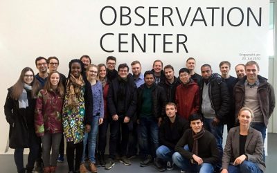
EAGLE excursion to DLR-EOC
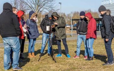
Our 2017 EAGLEs spend a great day at DLR-EOC close to Munich and learnt a lot about applied remote sensing. Beside talks about a variety of topics did the EAGLE students also have the chance to discuss in small groups with DLR scientists their research or...
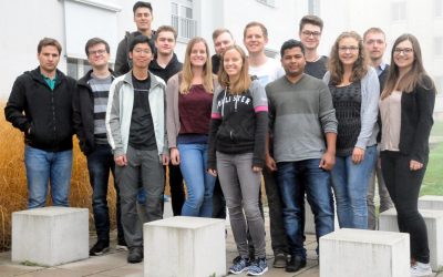
EAGLE 2017 students
Our new EAGLEs arrived and started their M.Sc. on Applied Earth Observation. During the official welcome all new students were introduced to the lecturer and the EAGLE students board. A joint dinner allowed to get to know everybody and address a...

Winter term 2017 is about to start
While the "old" EAGLEs are spending their 3rd term doing internships or innovation laboratories in Italy, Portugal, Poland or Burkina Faso at various research organizations or companies, the new EAGLEs for the winter term 2017/2018 will be welcomed next week. The...
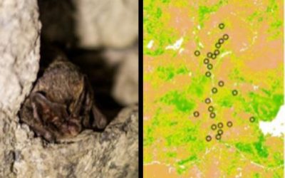
Remote Sensing in Ecology
The EAGLE course "Remote Sensing in Biodiversity and Conservation Science" took place in the last week of the summer term at the field research station in Fabrik Schleichach, Steigerwald. 20 biology and EAGLE students worked and lived together for one week and...