Aim
The participants will get familiar with the methological skills and processing chain for the analysis of polarimetric synthetic aperture radar (PolSAR) and Polarimetric SAR Interferometry (PolInSAR) data.
Content
The module encompasses the following practical topics:
- Processing of sentinel-1 radar SLC and GRD data for retrieving the biophysical parameters of different crop types and soil.
- Processing of quad pol (full polarization) of RADARSAT2 satellite data and AIRSAR full polarimetric photogrammetric data acquired by airplane to get familiar with the decomposition concept.
- Processing of Tandem-X bistatic mode to retrieve the forest height and biomass.
General Course News and Updates
internship and innovation laboratory presentations
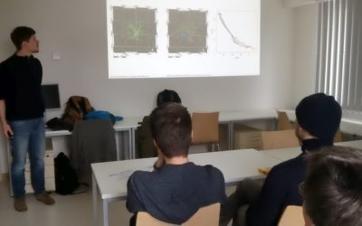
The following internship and innovation laboratory projects were presented today: Karsten Wiertz did his internship at the Białowieza national park on "Spatio-temporal analysis of tree mortality and gaps in the Białowieza Forest using high resolution imagery". Jakob...
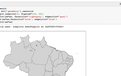
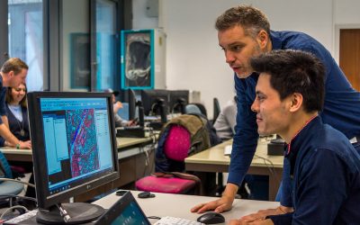
Spatial Python block course
Last week Steven Hill and Thorsten Dahms gave a course that introduced EAGLE students to Python-based spatial data analysis. The advantages and challenges of different python libraries, data sets and methods were covered in hands-on exercises and also discussed...
Interdisciplinary course in the Bavarian Forest
The Bavarian Forest and the Bohemian Forest together form the largest contiguous forest area in central Europe, which is of an extraordinary importance for the protection and maintenance of biological diversity. Since 1970, a large area of the forest is protected as a...
One week courses on hyperspectral and time-series analysis
In the past few weeks various block courses by colleagues from DLR have taken place. Divers topics how remote sensing can be used, which methods have to be applied and how to put it into practice were covered by our colleagues Hannes Taubenböck, Martin Bachmann and...
Urban Geography Course by Hannes Taubenböck
Hannes Taubenböck from DLR discussed with our EAGLE students the application of remote sensing applications within urban research.
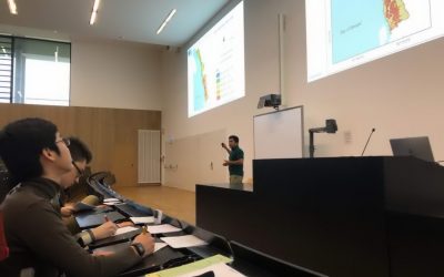
Scientific Presentation of Earth Observation Applications
As every term our students could participated in a scientific presentation course where they learned how to prepare, design and defend a scientific talk. Beside the theoretical part many practical exercises were part of this course and a final presentation in a large...
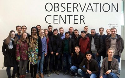
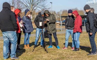
EAGLE excursion to DLR-EOC
Our 2017 EAGLEs spend a great day at DLR-EOC close to Munich and learnt a lot about applied remote sensing. Beside talks about a variety of topics did the EAGLE students also have the chance to discuss in small groups with DLR scientists their research or...
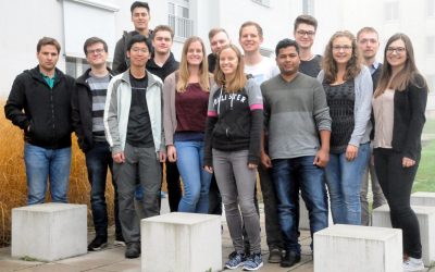
EAGLE 2017 students
Our new EAGLEs arrived and started their M.Sc. on Applied Earth Observation. During the official welcome all new students were introduced to the lecturer and the EAGLE students board. A joint dinner allowed to get to know everybody and address a...

Winter term 2017 is about to start
While the "old" EAGLEs are spending their 3rd term doing internships or innovation laboratories in Italy, Portugal, Poland or Burkina Faso at various research organizations or companies, the new EAGLEs for the winter term 2017/2018 will be welcomed next week. The...
Remote Sensing in Ecology
The EAGLE course "Remote Sensing in Biodiversity and Conservation Science" took place in the last week of the summer term at the field research station in Fabrik Schleichach, Steigerwald. 20 biology and EAGLE students worked and lived together for one week and...