Aim
The participants will get familiar with the methological skills and processing chain for the analysis of polarimetric synthetic aperture radar (PolSAR) and Polarimetric SAR Interferometry (PolInSAR) data.
Content
The module encompasses the following practical topics:
- Processing of sentinel-1 radar SLC and GRD data for retrieving the biophysical parameters of different crop types and soil.
- Processing of quad pol (full polarization) of RADARSAT2 satellite data and AIRSAR full polarimetric photogrammetric data acquired by airplane to get familiar with the decomposition concept.
- Processing of Tandem-X bistatic mode to retrieve the forest height and biomass.
General Course News and Updates
student perspective on the importance of remote sensing training
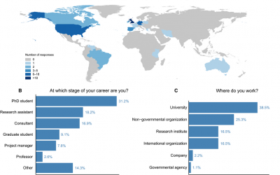
Some of our former M.Sc. students published a peer-reviewed article about the importance of remote sensing training approaches, how it helped them in their career and what need to be improved. The article is titled: “More than counting pixels – perspectives on the importance of remote sensing training in ecology and conservation” and published in Remote Sensing in Ecology and Conservation.
Winter term about to start
The winter term is about to start. The official start of the next semester is Monday 17th. The official EAGLE welcome will be on Monday as well followed by a joint dinner before the courses start on Tuesday. Further details on course dates and locations will be posted...
applications for 2016
The application deadline for the winter term 2016 was last Friday and we are now working through the numerous application. We are happy to have received a very high number of applications from all around the world and will get back to the applicants as soon as...
application opened for winter term 2016
The application is opened to apply for the EAGLE M.Sc. program starting this winter term 2016. The application deadline is July 15th 2016 (23:59, CEST). Please feel free to contact us beforehand to discuss open questions but please check our FAQ first. EAGLE is...
book: Remote Sensing and GIS for Ecologists
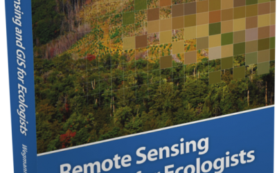
The book "remote sensing and GIS for ecologists - using Open Source software" edited by the EAGLE lecturer Martin Wegmann is a book about how ecologists can integrate remote sensing and GIS in their daily work. It will allow ecologists to get started with the...
MSc opportunities: remote sensing in ecology and conservation
Biodiversity analysis and conservation decision relies on adequate and meaningful data that are available on a long-term and global basis. Such environmental information need adequate spatial and temporal resolution and remote sensing data does provide a wide range...
MSc handed in on impact of remote sensing for biodiversity monitoring
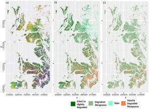
Anna Stephanie handed in her MSc thesis on “Impact of remote sensing characteristics for biodiversity monitoring”. Very impressive study on multi-scale, multi-model and multi-variable analysis of mangroves in Myanmar. She was supervised by Martin Wegmann. While...
MSc handed in on object-oriented classification of historical maps for ecosystem services
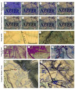
Yrneh Ulloa handed in her MSc “Land change in the Main catchment with an Object Based approach using eCognition” within GCE which dealt with classifying landcover in historical maps (1810+) automatically using object oriented approaches. She was supervised by Martin...
MSc: Analysis of Airborne LiDAR Data for Deriving Terrain and Surface Models
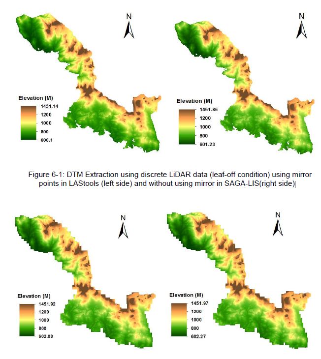
The M.Sc thesis by Raja Ram Aryal has been handed in (supervision of Dr. Hooman Latifi and Prof. Michael Hahn). The thesis focused on a comparative study on the variations of an adaptive TIN ground filtering algorithm to extract DTM from discrete LiDAR point cloud...
MSc: predicting forest understory canopy cover
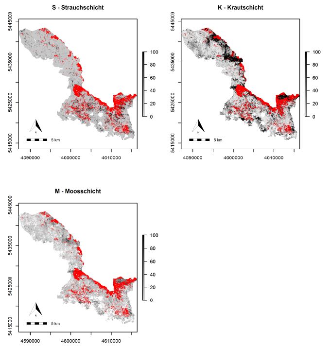
The M.Sc thesis by Bastian Schumann focused on a LiDAR-based approach to combine structural metrics and forest habitat information for causal and predictive models of under-story canopy cover. The data base used consisted of a bi-temporal LiDAR dataset as well as two...

