Lecturer
Stephen Hill
ECTS
5 ECTS
Aim
In this course we will elaborate large and complex workflows dealing with the analysis and handling of big data using Python. Moreover, we will try to develop a fully automated processing chain in Python for landcover mapping starting with the download of Landsat data, preprocessing, classification and building up a spatial database that enables GIS functionality over large datasets for further analysis.
Content
We will start with the basics of Python programming language and quickly evolve towards image processing techniques with packages such as scipy, numpy, scikit-learn, scikit-image and gdal. We will also focus on arcpy for ESRI software products which allows for a convenient and powerful automatization of spatial analysis functions.
General Course News and Updates
EAGLE presentations
A wide range of internships, innovation labs and M.Sc. idea presentations will take place next Monday (July 29th) in room 0.004, OKW 86. Everybody is invited to join the presentations and discussions: Morning session (10am - 12pm): Katrin Hasenbein (internship)...
Field Work Course 2019
Within the EAGLE program many Earth Observation applications and techniques are introduced and practically executed with quite some computer work. However, remote sensing research also requires a sound understanding of the study area. Field work is therefore a crucial...
Innovation Lab and thesis presentation
On Thursday 27th of June at 10am in room 0.004 (OKW 86) the following students will present their M.Sc. idea and their innovation lab outcome: Thesis idea presentation by Johni Miah:"Detecting and Assessing Ground Subsidence of Dhaka City, Bangladesh, using Synthetic...
internship and innovation lab presentations
The following students will present next Tuesday (26th) at 2pm in room 0.004 their internships or innovation labs:Itohan-osa Abu (internship): Mangrove Mapping with TimeScan Data for Nigeria and an Analysis in Context of Coastal Gas Flaring Salim Soltani (internship):...
EAGLE visit DLR-EOC
Our EAGLEs in 2018 visited the German Aerospace Center, namely the Earth Observation Center, close to Munich. Various topics were presented by DLR scientist and the EAGLEs hat the chance to discuss various topics in small groups with individual scientists.
Internship and M.Sc. idea presentations
on Thursday, December 13th, at 12:30 we will have the following presentations in the student working room (Josef Martin Weg 52, 3rd floor): internship presentations: Johni Miah"Remote Sensing and Geographic Information System for Decision...
EAGLE Internships
On Monday, 24th of September, at 1pm the following internship reports will be presented: Bharath: "Installation and Characterization of an imaging Spectrometer for the UAV-based remote sensing" Johannes: "Crop classification based on S1/S2 in...
Internship, Innovation Lab and MSc idea presentations
The following students presented their innovation labs, internships and ideas for MSc. thesis: Ahmed: Innovation Lab at DLR (team of Ursula Gessner) and Master Thesis Idea: Title: Status of Agricultural Lands in Egypt using Earth Observation Maninder (at DLR,...
Internship and Innovation Lab presentations
Today some of our EAGLE students presented their internship and innovation laboratory projects. Very interesting topics and they obviously applied and deepened their remote sensing knowledge a lot. Julia Sauerbrey: Prediction of Organic Matter Content from Sentinel-2...
EAGLE students learn remote sensing field work
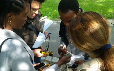
The course "from field work to spatial data" by Tobias Ullmann and Martin Wegmann is covering the whole range of field campaign planning and especially training all necessary methods such as GPS handling, coordinate systems, setting waypoints or finding locations. In...


