Lecturer
Stephen Hill
ECTS
5 ECTS
Aim
In this course we will elaborate large and complex workflows dealing with the analysis and handling of big data using Python. Moreover, we will try to develop a fully automated processing chain in Python for landcover mapping starting with the download of Landsat data, preprocessing, classification and building up a spatial database that enables GIS functionality over large datasets for further analysis.
Content
We will start with the basics of Python programming language and quickly evolve towards image processing techniques with packages such as scipy, numpy, scikit-learn, scikit-image and gdal. We will also focus on arcpy for ESRI software products which allows for a convenient and powerful automatization of spatial analysis functions.
General Course News and Updates
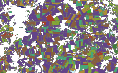
Object based sequential masking classification using SAR and optical data
Remote sensing based crop mapping is still challenging when just relying on optical information as the only data source. Due to the unavailability of adequate optical satellite images the integration of SAR is promising and can be explored within an innovation...
Radiometric calibration, speckle reduction, geometric and terrain correction are essential preprocessing steps for SAR data. Within an innovation laboratory you will explore the different calibration and data preparation techniques for ground detected and single look...
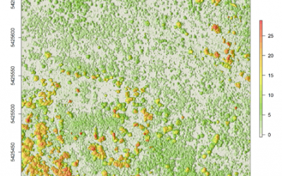
Surface model creation from multi-source remote sensing data
Nowadays there are plenty of 3D data sources which offer the possibility to model and monitor structural attributes of the landscape via the derivation of terrain, surface and canopy models. The core idea of this research project within an innovation laboratory is to...


