Lecturer
any EAGLE lecturer as supervisor
ECTS
5 ECTS
Aim
The innovation laboratory provides the opportunity to conduct a specified research project on a chosen research topic and explore the potential, challenges and limits of Earth Observation and geoanalysis in a practical approach during the 3rd term.
The Innovation Laboratory allows you to analyze one particular topic in your field of interest in depth. It allows to address own research in the field of the study program and offers the basis of practical attained knowledge. It is similar to an internship but allows to do it at the university (esp. our department).
Content
The content of the innovation laboratory can be decided by each student individually and either a research topic is offered by a lecturer or the student is proposing an own topic. Research topics need to be discussed with and proposed to one EAGLE lecturer who will also be in charge of supervising and grading the students work. Topics of the innovation laboratory can cover all aspects of the EAGLE study program with a strong focus on applied Earth Observation and geoanalysis or its innovative potential for remote sensing sciences. It may comprise topics such as linking spectrometer field studies to remotely sensed data or the exploration of UAV based imagery, as well as space borne earth observation analysis such as time-series derivation for a variety of environmental studies i.e. resource mapping or spatial predictions and statistics of variables.
Internship and InnoLab presentations
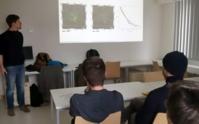
On Monday, 14th of October, at 5pm in room ZHSG 01.002, after the welcome of the new EAGLEs we will have the following internship and Innovation Laboratory presentations: Pawel Kluter (Internship): "Remote Sensing in the Federal Criminal Police Office" Pawel Kluter...
EAGLE presentations
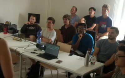
A wide range of internships, innovation labs and M.Sc. idea presentations will take place next Monday (July 29th) in room 0.004, OKW 86. Everybody is invited to join the presentations and discussions: Morning session (10am - 12pm): Katrin Hasenbein (internship)...
Innovation Lab and thesis presentation
On Thursday 27th of June at 10am in room 0.004 (OKW 86) the following students will present their M.Sc. idea and their innovation lab outcome: Thesis idea presentation by Johni Miah:"Detecting and Assessing Ground Subsidence of Dhaka City, Bangladesh, using Synthetic...
internship and innovation lab presentations
The following students will present next Tuesday (26th) at 2pm in room 0.004 their internships or innovation labs:Itohan-osa Abu (internship): Mangrove Mapping with TimeScan Data for Nigeria and an Analysis in Context of Coastal Gas Flaring Salim Soltani (internship):...
Internship, Innovation Lab and MSc idea presentations
The following students presented their innovation labs, internships and ideas for MSc. thesis: Ahmed: Innovation Lab at DLR (team of Ursula Gessner) and Master Thesis Idea: Title: Status of Agricultural Lands in Egypt using Earth Observation Maninder (at DLR,...
Internship and Innovation Lab presentations
Today some of our EAGLE students presented their internship and innovation laboratory projects. Very interesting topics and they obviously applied and deepened their remote sensing knowledge a lot. Julia Sauerbrey: Prediction of Organic Matter Content from Sentinel-2...
internship and innovation laboratory presentations
The following internship and innovation laboratory projects were presented today: Karsten Wiertz did his internship at the Białowieza national park on "Spatio-temporal analysis of tree mortality and gaps in the Białowieza Forest using high resolution imagery". Jakob...
Explore species-environment interaction
Analyzing species-environment interaction is feasible using various data and method. An increasing technology is the tracking of animals and especially its linkage to remote sensing, as covered in AniMove.org. However, with this technology new challenges have to be...
Deployment of a multi-classifier approach to improve land cover classification accuracy
This study will examine whether the application of hybrid classifiers increases the classification accuracy in comparison to a single classifier. A combination between parametric and non-parametric classifiers will be applied and their performance will be assessed....
Stereo photogrammetry for multi-temporal surface models based on aerial imagery
The data provided by aerial imagery are amongst the oldest sources of spatially explicit information for modern-time environmental management. These data are often captured over landscape-level domains using overlapping flight stripes to enable stereo photogrammetric...

