Aim
Aim of this course is to provide you with an overview on geographic processes of urbanization, the related demographic and structural changes of cities, and data analyses methods using remote sensing data for applications in urban geography.
Content
Humankind is within its largest migration ever: from rural areas into cities. The drivers of this global process of urbanization from demographic to economic and the related structural changes cities are facing will be discussed in this course. Remote sensing is one crucial data source in this dynamic transformation and its products are highly relevant for urban planning, as well as environmental management. Within this course different approaches and techniques are covered focusing on deriving relevant information about urbanized areas on different levels of detail. Uni-temporal-, multi-temporal-, and time series based image classification, segmentation, the analyses of point patterns, GIS analyses to assess spatial context and dependencies, as well as analyses in the 3D domain will be addressed in this course. This will be done providing and discussing example applications from different regions globally (e.g. urban sprawl analysis of megacities, the development of new dimensions of urban landscapes such as mega-regions, the rearrangement of business districts within the urban landscape, etc.). You will learn what capabilities Earth observation data, methods and products have for urban research and applications and how to design remote sensing based urban analysis, how to avoid caveats, troubleshoot errors and interpret the results.
General Course News and Updates
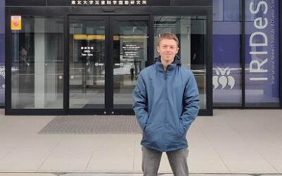
EAGLE student Konstantin Müller is a guest scientist in Japan
Our EAGLE student Konstantin Müller is a guest scientist at The International Research Institute for Disaster Science (IRIDeS) in Japan The IRIDeS is dedicated to advancing research and understanding in the realm of disaster science. Situated in Japan, IRIDeS plays an...
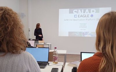
EAGLEs learn SNAP
Various very specific scientific software packages are developed to serve specific purposes like the SNAP tools for Sentinel fleet data processing. Our EAGLEs have to learn the wealth of relevant software packages for our field of research and get to know the pros and...
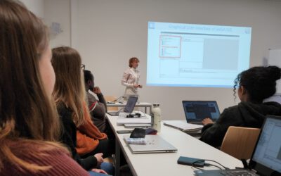
our EAGLEs train SAGA GIS
Within our EAGLE MSc program our students are learning quite a variety of programming environments and software programs, however due to the high diversity of available (open-source) programs our students have to apply their spatial research skills to learn a totally...
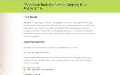
RStoolbox now maintained by our EAGLE Konstantin Müller
we are very happy that our EAGLE Konstantin Müller took over the maintenance and further development of the remote sensing R stats package RStoolbox. Of course the "older" developers like Jakob Schwalb-Willmann (also an old EAGLE) and Benjamin Leutner (also our old...
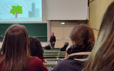
EAGLE students train scientific presentations
Within our scientific presentation course within the EAGLE Msc our students also have to learn how deliver good scientific presentation within a large lecture room and for a larger crowd of scientists. Therefore we expose them to the large number of bsc students...
Inno Lab Report by Helena Wehner on January 23rd at 12:30 p.m.
On Tuesday, January 23rd at 12:30 Helena Wehner will present her inno lab report "Low-Cost UAV for Conservation in the Conservation area „Biosphärenreservat Rhön"" (seminar room 3, John-Skilton-Str. 4a). Hosting Institution: Biosphärenreservat Rhön Supervisors: Jonas...
Internship Report by Luis David Almeida Famada
On Tuesday, January 23rd at 12:00 a.m. Luis David Almeida Famada will present his internship report at DLR " "Land Use and Resource Management" Hosting Institution: DLR – Deutsches Zentrum für Luft- und Raumfahrt Supervisors: Dr. Soner Üreyen, Deutsches Luft- und...
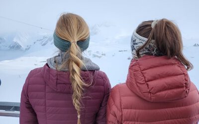
EAGLEs high up in the mountains
Some of our EAGLEs went up to the research station on the highest mountain of Germany to explore the research activities conducted in this area and discuss what remote sensing can contribute. The met ecologists, botanists and other disciplines and learned what Earth...
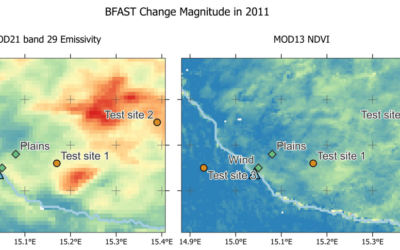
Article published by our EAGLE Laura Obrecht
Just before the end of last year Lauras manuscript about fractional cover analysis in Namibia got published! Her research is titled "Mapping Changes in Fractional Vegetation Cover on the Namib Gravel Plains with Satellite-Retrieved Land Surface Emissivity Data"....

EAGLE Xmas party
After a bit more than 2 months of intense Earth Observation courses and lots of studying of radar, cloud computing, r and python programming and much more the EAGLEs are celebrating the end of the year and two weeks break before the second part of the winter terms...