by EAGLE Team | Apr 2, 2021
Introduction to Remote Sensing and Geoanalysis Lecturer Claudia Kuenzer ECTS 5 ECTS AimWithin this course different methods to analyse point pattern statistically and conduct a spatial prediction are covered. Students will learn how to design such analysis, how...
by EAGLE Team | Feb 3, 2016
Applications of Earth Observation04-GEO-TB2 Lecturer Jakob Schwalb-Willmann ECTS 5 ECTS Aim In this lecture you will gain a broad overview of the applications of remote sensing. Examples from different disciplines and applied Earth Observation projects will...
by EAGLE Team | Jan 17, 2016
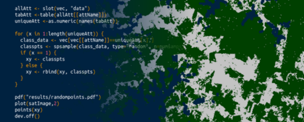
Digital Image Analysis and GIS Lecturer Martin Wegmann ECTS 5 ECTS Aim This course provides detailed knowledge of programming or coding using spatial data, especially for remote sensing and GIS tasks. Content Different spatial programming approaches are...
by EAGLE Team | Jan 3, 2016
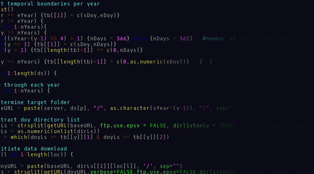
Programming and Geostatistical Analysis 04-GEO-MB2 Lecturer Martin Wegmann ECTS 5 ECTS Aim Programming and geostatistics for environmental data analysis will be introduced. Advantages of coding approaches are discussed, theory of coding and statistics covered...