About
Richard is a Postdoctoral researcher at the University of Würzburg and the German Aerospace Center (DLR). His research is conducted on the basis of spatially explicit urban ecology and focuses on the spatiotemporal characterization of urban areas employing geoinformatics. His goal is to detect global regularities as well as fundamental differences between cities, aiming to find the underlying properties driving the evolution of urban systems. Richard has published diverse peer-reviewed scientific papers focused on urban spatial development, the urban heat island effect, urban green infrastructure and land cover change (e.g., deforestation). He has collaborated with research groups from Argentina, Chile, Colombia, India, Finland, Germany, Mexico, Spain and the United States, in projects focused on land use change, climate change, vegetation monitoring, spatial patterns of urbanization, land planning, and evaluation of the provision of ecosystem services, among others.

Recent News
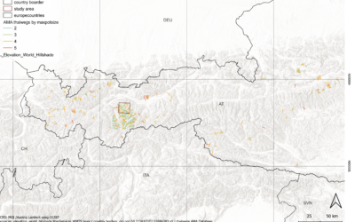
Master Defense: Towards a quantitative terrain-based avalanche size classification: a case study based on Avalanche Modelling Atlas Thalweg data
On September 18, Magdalena Fischer will present her master thesis " Towards a quantitative terrain-based avalanche size classification: a case study based on Avalanche Modelling Atlas Thalweg data" at 13:00 in seminar room 3, John-Skilton-Str. 4a. From the...
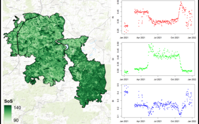
Master Defense: Comparing the suitability of remote sensing and wildlife camera time series for deriving phenological metrics of understory vegetation in temperate forests of Upper Franconia, Bavaria
On September 18, Sarah Schneider will present her master thesis "Comparing the suitability of remote sensing and wildlife camera time series for deriving phenological metrics of understory vegetation in temperate forests of Upper Franconia, Bavaria" at 14:00 in...
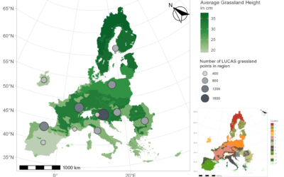
Master Defense: Regionalisation and Characterisation of Grasslands in the EU based on Remote Sensing Data
On September 17, Daniel Gruschwitz will present his master thesis " Detection of hedgerows and copses in the agricultural landscape of Lower Franconia (Germany) using earth observation data" at 13:30 in seminar room 3, John-Skilton-Str. 4a. From the abstract: In the...
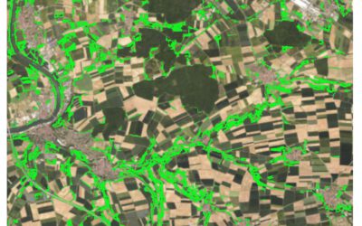
Master Defense: Detection of hedgerows and copses in the agricultural landscape of Lower Franconia (Germany) using earth observation data
On September 17, Verena Stegmaier will presenter her master thesis " Detection of hedgerows and copses in the agricultural landscape of Lower Franconia (Germany) using earth observation data" at 12:30 in seminar room 3, John-Skilton-Str. 4a. From the abstract:...
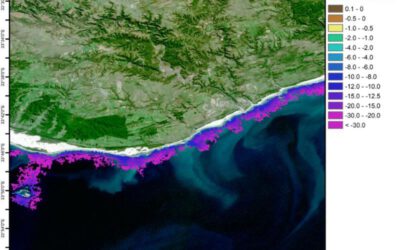
Innolab Presentation: Enhancing Satellite Data Processing for Global Shallow Water Bathymetry at EOMAP
On September 10, 2024, Isabella Metz will present her Inno Lab results on " Enhancing Satellite Data Processing for Global Shallow Water Bathymetry at EOMAP" at 12:00 in seminar room 3, John-Skilton-Str. 4a. From the abstract: About 75% of the oceans have not yet been...
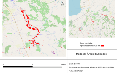
Internship Presentation: Application of synthetic aperture radar (SAR) data: Case study in flood mapping in Costa Rica and technical capacity building of the PRIAS team
On October 01, 2024, Ariana Sofía Argüello Cordero will present her internship " Application of synthetic aperture radar (SAR) data: Case study in flood mapping in Costa Rica and technical capacity building of the PRIAS team" at 12:00 in seminar room 3,...
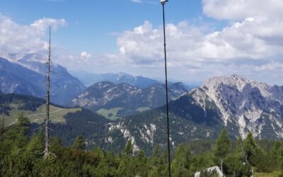
Internship Presentation: Small-scale 3D model generation by photogrammetry of alpine vegetation in Berchtesgaden National Park
On Tuesday, August 20, 2024 at 10:00 a.m. Daniel Gruschwitz will present his internship "Small-scale 3D model generation by photogrammetry of alpine vegetation in Berchtesgaden National Park" in seminar room 3, John-Skilton-Str. 4a. From the abstract: Nature in...
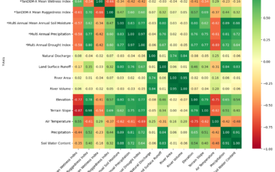
Internship Presentation: Discovering Hydrographic Parameters of HydroSHEDS and TanDEM-X Digital Elevation Model through Exploratory Data Analysis on July 09, 2024
On Tuesday, July 09, Subarno Shankar will present his internship " Discovering Hydrographic Parameters of HydroSHEDS and TanDEM-X Digital Elevation Model through Exploratory Data Analysis " at 12:00 in seminar room 3, John-Skilton-Str. 4a. From the abstract: Climate...
Master Thesis Presentation: Earth Observation for Wildlife Monitoring in cold and polar Regions – A Review and a Case Study about the Northern Bald Ibis on June 11, 2024
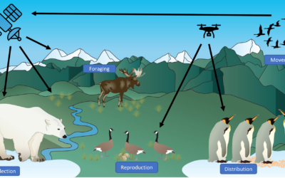
On Tuesday, June 11 , Helena Wehner will defend her master thesis " Earth Observation for Wildlife Monitoring in cold and polar Regions – A Review and a Case Study about the Northern Bald Ibis" at 13:00 in seminar room 3, John-Skilton-Str. 4a. From the abstract:...
Master Thesis Presentation: Analysis of Urban Heat Development in Dresden, Germany using Landsat Data from the Past Decade
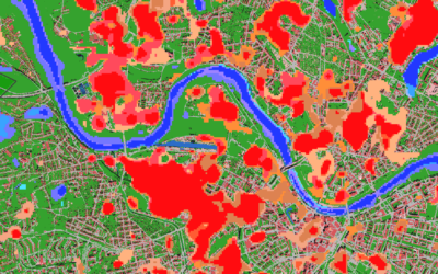
On Tuesday, May 28, Ina Schulz will defend her master thesis " Analysis of urban heat development in Dresden, Germany using Landsat data from the past decade" at 12:00 in seminar room 3, John-Skilton-Str. 4a. From the abstract: As the number of urban residents is...

