Innovation Lab and thesis presentation

On Thursday 27th of June at 10am in room 0.004 (OKW 86) the following students will present their M.Sc. idea and their innovation lab outcome:

Thesis idea presentation by Johni Miah:
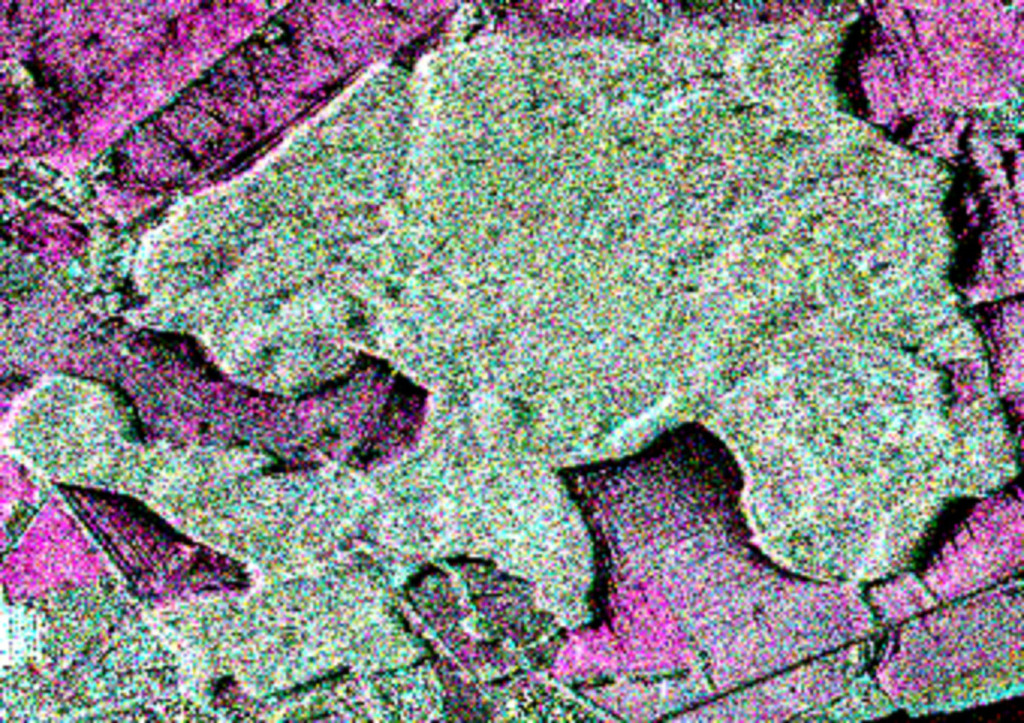
“Detecting and Assessing Ground Subsidence of Dhaka City, Bangladesh, using Synthetic Aperture RADAR Data of Sentinel-1”

Innovation Lab Presentation by Navid Chamani: 
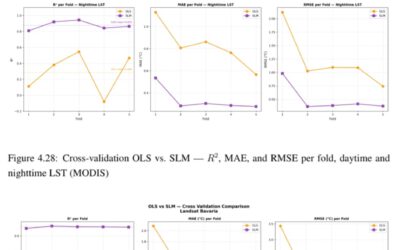
“The inter-annual relationship between Landsat 8-derived LST and spectralindices in a region with alternating dry and wet seasons in Nigeria”


read more news:

[spotlight] Lecturer Spotlight: Martin Wegmann

[spotlight] Lecturer Spotlight: Martin Wegmann

If you've ever sat in a Würzburg classroom learning how to wrangle satellite data, there's a good chance Martin Wegmann was the one standing at the front. He's been the driving force behind the EAGLE MSc program, the Applied Earth Observation degree at the University...

EAGLE Internship Presentation: Svalbard

EAGLE Internship Presentation: Svalbard

On July 07, 2026, Aoibhin Murphy and Marlene Sehrbrock will present her internship results on " Svalbard" at 12:00 in seminar room 3, John-Skilton-Str. 4a. From the abstract: Using thermal and RGB imagery collected via UAVs, we investigated the potential of thermal...

EireR R package: unified gateway to Irish geospatial data

EireR R package: unified gateway to Irish geospatial data

Anyone who's tried to do geospatial work across the whole island of Ireland knows the headache. Ireland is one island geographically, but it's split across two jurisdictions, the Republic and Northern Ireland, and each one runs its own data infrastructure. Different...