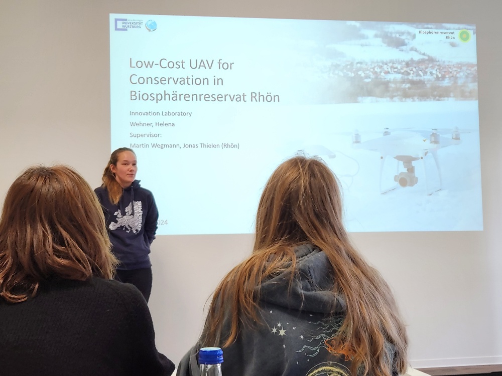
Our EAGLE Helena Wehner presented her work in the Rhoen biosphere reserve where she tested the potential of low cost consumer drones for conservation.
She aimed at mapping animal tracks using photogrammetry approaches in snowy landscapes. The structure through motion approach allowed her to differentiate different tracks in selected winter study sites. She also applied different software tools from coding to e.g. SAGA.
Additionally she also explored remote sensing monitoring potential for red kite nesting sites. Using drones she conducted research on mapping nests in designated areas and applied SfM approaches again. Her tests look very promising but of course more data collection and analysis need to be done in order to apply it automatically across larger landscapes.
Her supervision was done by the biosphere result and our EAGLE lecturer Martin Wegmann.

