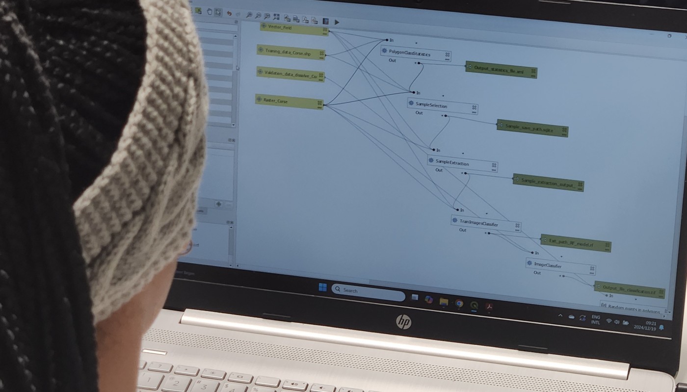
As part of our international EAGLE MSc courses, we include comprehensive training on the powerful Orfeo Toolbox (OTB) software. OTB is an open-source library for processing remote sensing imagery, offering advanced algorithms for tasks such as image segmentation, classification, change detection, and feature extraction. It supports high-dimensional data and is designed to handle large-scale Earth observation datasets efficiently.
Our students gain hands-on experience with a wide range of software, empowering them to understand the strengths, limitations, and optimal applications of various tools and programming environments. This holistic approach enables them to select the best tools for their scientific research and projects.
In the coming weeks, students will also delve into other advanced tools, including Whitebox Tools, a modern open-source geospatial analysis platform; SAGA GIS, known for its robust geoscientific analysis capabilities; and they’ll learn to develop custom QGIS plugins, expanding their technical expertise further.
By the end of the program, students are equipped with a comprehensive skill set, enabling them to tackle diverse geospatial challenges with confidence.


