
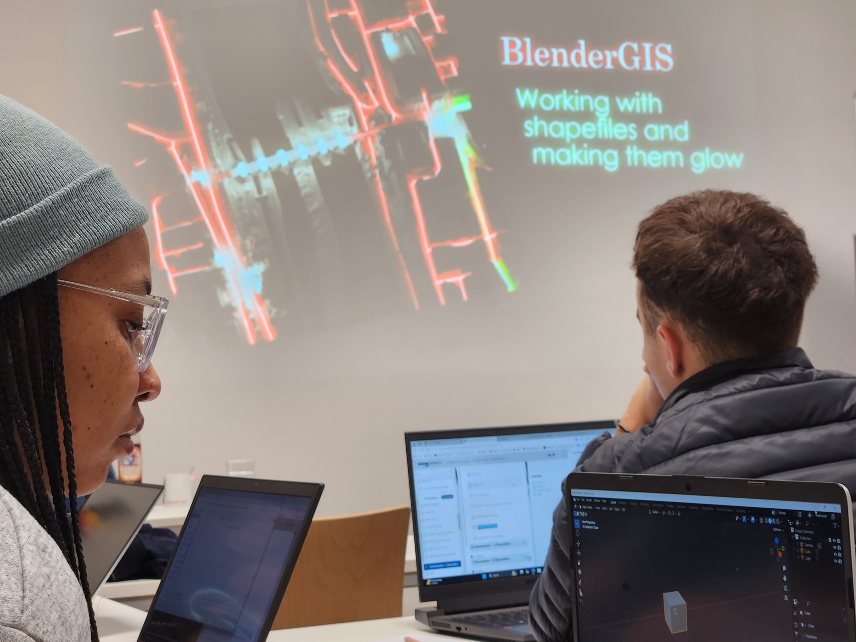
Within out EAGLE Earth Observation M.Sc. we also cover software applications which might not be used on a regular basis within our field of research but are sometimes highly useful to display our spatial data in a visually appealing way – and also potentially provides more insights.
Different examples are covered like a rotating globe with different landcover information such as true color and night lights or a more detailed map of a bridge and add glowing lights as well as reflecting water to make the data more realistic and display potential impacts of urban lightning on the surrounding.
More examples will be covered in the next weeks using Blender for our Earth Observation research field
Different examples are covered like a rotating globe with different landcover information such as true color and night lights or a more detailed map of a bridge and add glowing lights as well as reflecting water to make the data more realistic and display potential impacts of urban lightning on the surrounding.
More examples will be covered in the next weeks using Blender for our Earth Observation research field

![[Spotlight] Lecturer Spotlight: Julian Faeth](https://eagle-science.org/wp-content/uploads/2026/10/Julian_Faeth_EORC_EAGLE_2026-400x250.jpg)






