Jun 19, 2018 | innovation laboratories, internships, news
Today some of our EAGLE students presented their internship and innovation laboratory projects. Very interesting topics and they obviously applied and deepened their remote sensing knowledge a lot. Julia Sauerbrey: Prediction of Organic Matter Content from Sentinel-2...

May 8, 2018 | announcement, news
the application deadline for our next term of the international M.Sc. program EAGLE “applied Earth Observation and Geoanalysis of the Living Environment” is approaching. Application for the upcoming winter term are accepted until May 15th. More details on the...
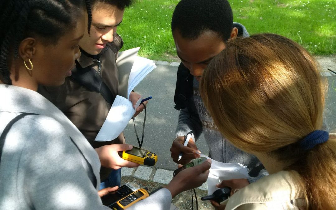
May 4, 2018 | course, news, wegmann
The course “from field work to spatial data” by Tobias Ullmann and Martin Wegmann is covering the whole range of field campaign planning and especially training all necessary methods such as GPS handling, coordinate systems, setting waypoints or finding...

Apr 27, 2018 | MSc thesis, news, wegmann
Jakob Schwalb-Willmann just started his M.Sc. thesis titled “A deep learning movement prediction model using environmental data to identify movement anomalies”. He will combine animal movement and remote sensing data in order to develop a generic,...
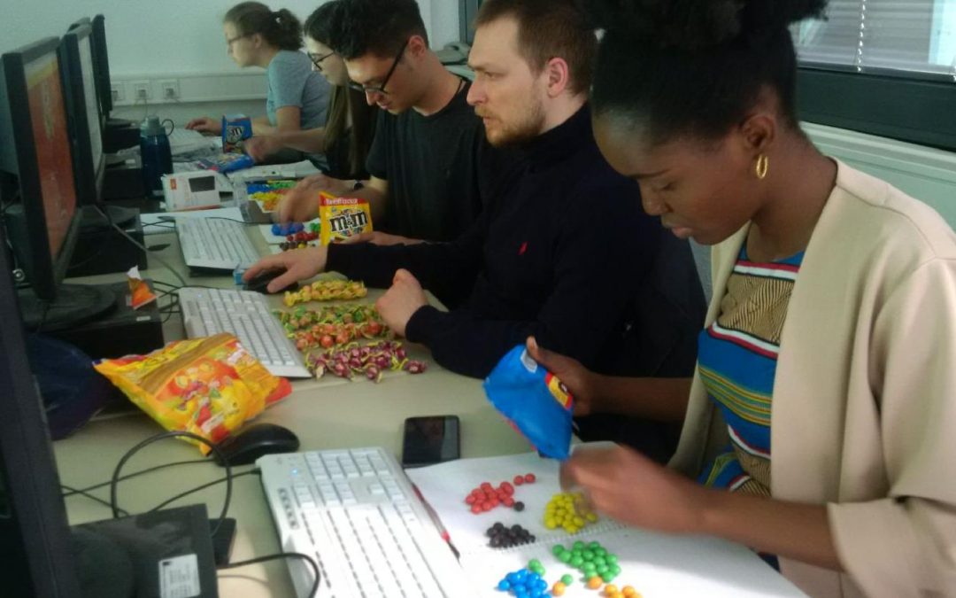
Apr 25, 2018 | course, news, wegmann
Today our EAGLE students applied data munging, pipes, plotting and statistics using colour distribution of sweets. They specifically used the dplyr, ggplot, kableExtra and others to compute derivatives, rearrange the data, plot it and run statistics on colour...