
Oct 24, 2016 | announcement, news
Our EAGLEs in 2016: Johannes Löw. Sarah Nolting, Marcus Groll, Bharath Selvaraj, Sebastian Roersch, Ahmed Saadallah, Marina Reiter, Pilar Endara Pinillos, Sazu Shahjahan, Ahmed Fowad, Jakob Schwalb-Willmann, Julia Sauerbrey, Louis Freytag, Karten Wiertz, Kamrul Islam...

Oct 18, 2016 | course, lecturer, news, WS2016
On Monday 17th of October we welcomed our new EAGLE students. The EAGLEs in 2016 are from Afghanistan, Bangladesh, Columbia, Egypt, India, Iran, Pakistan, Sweden and Germany. After the official welcome by all lecturer and the study program coordinator Christopher...
Oct 16, 2016 | course, news, wegmann, WS2016
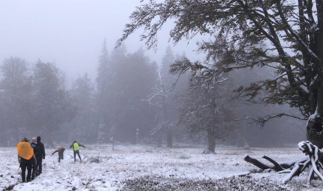
The course on remote sensing for biodiversity analysis covered 10 days of field work, R coding, testing field methods such as UAVs and lots of hiking in the National Park Bavarian Forest. This year we had sunny and rainy weather and on the peaks also snow which made...
Sep 29, 2016 | announcement, news, WS2016
The winter term is about to start. The official start of the next semester is Monday 17th. The official EAGLE welcome will be on Monday as well followed by a joint dinner before the courses start on Tuesday. Further details on course dates and locations will be posted...

Jul 18, 2016 | announcement, news, WS2016
The application deadline for the winter term 2016 was last Friday and we are now working through the numerous application. We are happy to have received a very high number of applications from all around the world and will get back to the applicants as soon as...
