
Sep 29, 2016 | announcement, news, WS2016
The winter term is about to start. The official start of the next semester is Monday 17th. The official EAGLE welcome will be on Monday as well followed by a joint dinner before the courses start on Tuesday. Further details on course dates and locations will be posted...

Jul 18, 2016 | announcement, news, WS2016
The application deadline for the winter term 2016 was last Friday and we are now working through the numerous application. We are happy to have received a very high number of applications from all around the world and will get back to the applicants as soon as...

May 24, 2016 | announcement, news, WS2016
The application is opened to apply for the EAGLE M.Sc. program starting this winter term 2016. The application deadline is July 15th 2016 (23:59, CEST). Please feel free to contact us beforehand to discuss open questions but please check our FAQ first. EAGLE is...
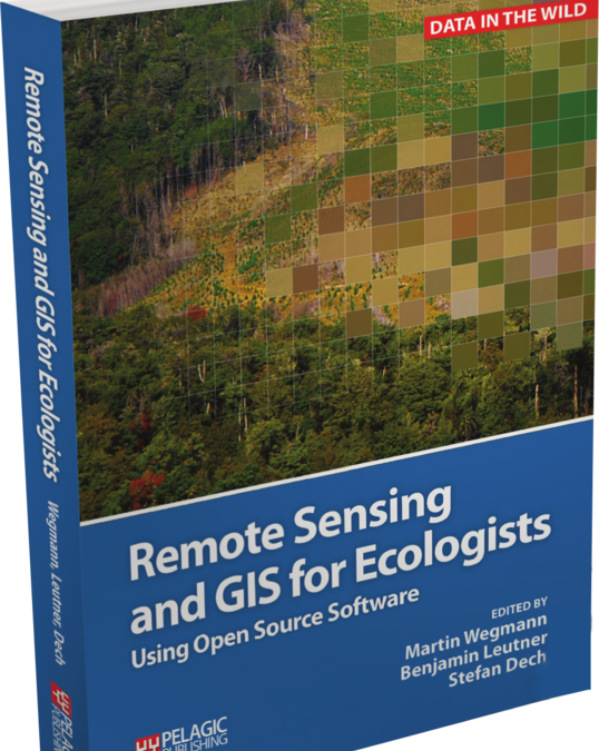
May 23, 2016 | lecturer, news, wegmann
The book “remote sensing and GIS for ecologists – using Open Source software” edited by the EAGLE lecturer Martin Wegmann is a book about how ecologists can integrate remote sensing and GIS in their daily work. It will allow ecologists to get started...
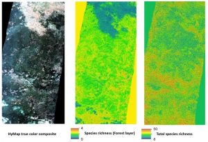
May 13, 2016 | announcement, MSc thesis, news, wegmann
Biodiversity analysis and conservation decision relies on adequate and meaningful data that are available on a long-term and global basis. Such environmental information need adequate spatial and temporal resolution and remote sensing data does provide a wide range...
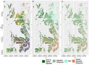
May 6, 2016 | MSc thesis, news, wegmann
Anna Stephanie handed in her MSc thesis on “Impact of remote sensing characteristics for biodiversity monitoring”. Very impressive study on multi-scale, multi-model and multi-variable analysis of mangroves in Myanmar. She was supervised by Martin Wegmann. While...