
Mandatory courses (40 ECTS)
mandatory courses in the 1st and 2nd semester cover basic skills for Earth Observation research
Theoretical basics (15 ECTS)
No Results Found
The page you requested could not be found. Try refining your search, or use the navigation above to locate the post.
Methodological Basics (15 ECTS)
No Results Found
The page you requested could not be found. Try refining your search, or use the navigation above to locate the post.
Practical Applications (10 ECTS)
No Results Found
The page you requested could not be found. Try refining your search, or use the navigation above to locate the post.
Compulsory elective area (50 ECTS)
Overarching Methods and Applications in Earth Observation (10-20 ECTS)
the application courses offer a more in-depth study of various Earth Observation applications:
No Results Found
The page you requested could not be found. Try refining your search, or use the navigation above to locate the post.
Fokus Area Environment or Urban Methods and Applications
these courses aim to deepen you knowledge in the Urban or Environment field of Earth Observation:
No Results Found
The page you requested could not be found. Try refining your search, or use the navigation above to locate the post.
Soft Skills (5-15 ECTS)
courses to learn about scientific writing, presentation, project management and other topics relevant for Earth Observation research:
No Results Found
The page you requested could not be found. Try refining your search, or use the navigation above to locate the post.

Exemplary course syllabus for different focus areas
some suggestions for optional courses for different focus areas are listed on the EAGLE specialization page

Recent News
Learn about EAGLE updates and general news
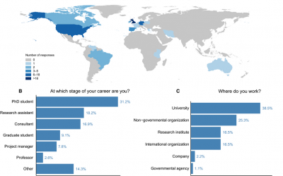
student perspective on the importance of remote sensing training
Some of our former M.Sc. students published a peer-reviewed article about the importance of remote sensing training approaches, how it helped them in their career and what need to be improved. The article is titled: “More than counting pixels – perspectives on the importance of remote sensing training in ecology and conservation” and published in Remote Sensing in Ecology and Conservation.

Winter term about to start
The winter term is about to start. The official start of the next semester is Monday 17th. The official EAGLE welcome will be on Monday as well followed by a joint dinner before the courses start on Tuesday. Further details on course dates and locations will be posted...

applications for 2016
The application deadline for the winter term 2016 was last Friday and we are now working through the numerous application. We are happy to have received a very high number of applications from all around the world and will get back to the applicants as soon as...