
Mandatory courses (40 ECTS)
mandatory courses in the 1st and 2nd semester cover basic skills for Earth Observation research
Theoretical basics (15 ECTS)
No Results Found
The page you requested could not be found. Try refining your search, or use the navigation above to locate the post.
Methodological Basics (15 ECTS)
No Results Found
The page you requested could not be found. Try refining your search, or use the navigation above to locate the post.
Practical Applications (10 ECTS)
No Results Found
The page you requested could not be found. Try refining your search, or use the navigation above to locate the post.
Compulsory elective area (50 ECTS)
Overarching Methods and Applications in Earth Observation (10-20 ECTS)
the application courses offer a more in-depth study of various Earth Observation applications:
No Results Found
The page you requested could not be found. Try refining your search, or use the navigation above to locate the post.
Fokus Area Environment or Urban Methods and Applications
these courses aim to deepen you knowledge in the Urban or Environment field of Earth Observation:
No Results Found
The page you requested could not be found. Try refining your search, or use the navigation above to locate the post.
Soft Skills (5-15 ECTS)
courses to learn about scientific writing, presentation, project management and other topics relevant for Earth Observation research:
No Results Found
The page you requested could not be found. Try refining your search, or use the navigation above to locate the post.

Exemplary course syllabus for different focus areas
some suggestions for optional courses for different focus areas are listed on the EAGLE specialization page

Recent News
Learn about EAGLE updates and general news

application opened for winter term 2016
The application is opened to apply for the EAGLE M.Sc. program starting this winter term 2016. The application deadline is July 15th 2016 (23:59, CEST). Please feel free to contact us beforehand to discuss open questions but please check our FAQ first. EAGLE is...
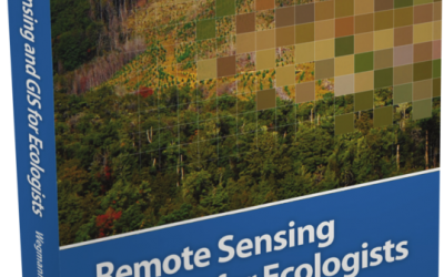
book: Remote Sensing and GIS for Ecologists
The book "remote sensing and GIS for ecologists - using Open Source software" edited by the EAGLE lecturer Martin Wegmann is a book about how ecologists can integrate remote sensing and GIS in their daily work. It will allow ecologists to get started with the...
MSc opportunities: remote sensing in ecology and conservation
Biodiversity analysis and conservation decision relies on adequate and meaningful data that are available on a long-term and global basis. Such environmental information need adequate spatial and temporal resolution and remote sensing data does provide a wide range...