
On August 04, 2026 Anugraha Das will present her internship results on ” Groundwater Level Trends in Germany: A National-Scale Assessment Using In-Situ Monitoring Data and GRACE Satellite Products” at 12:00 at the seminar room 3 in John-Skilton-Str. 4a.
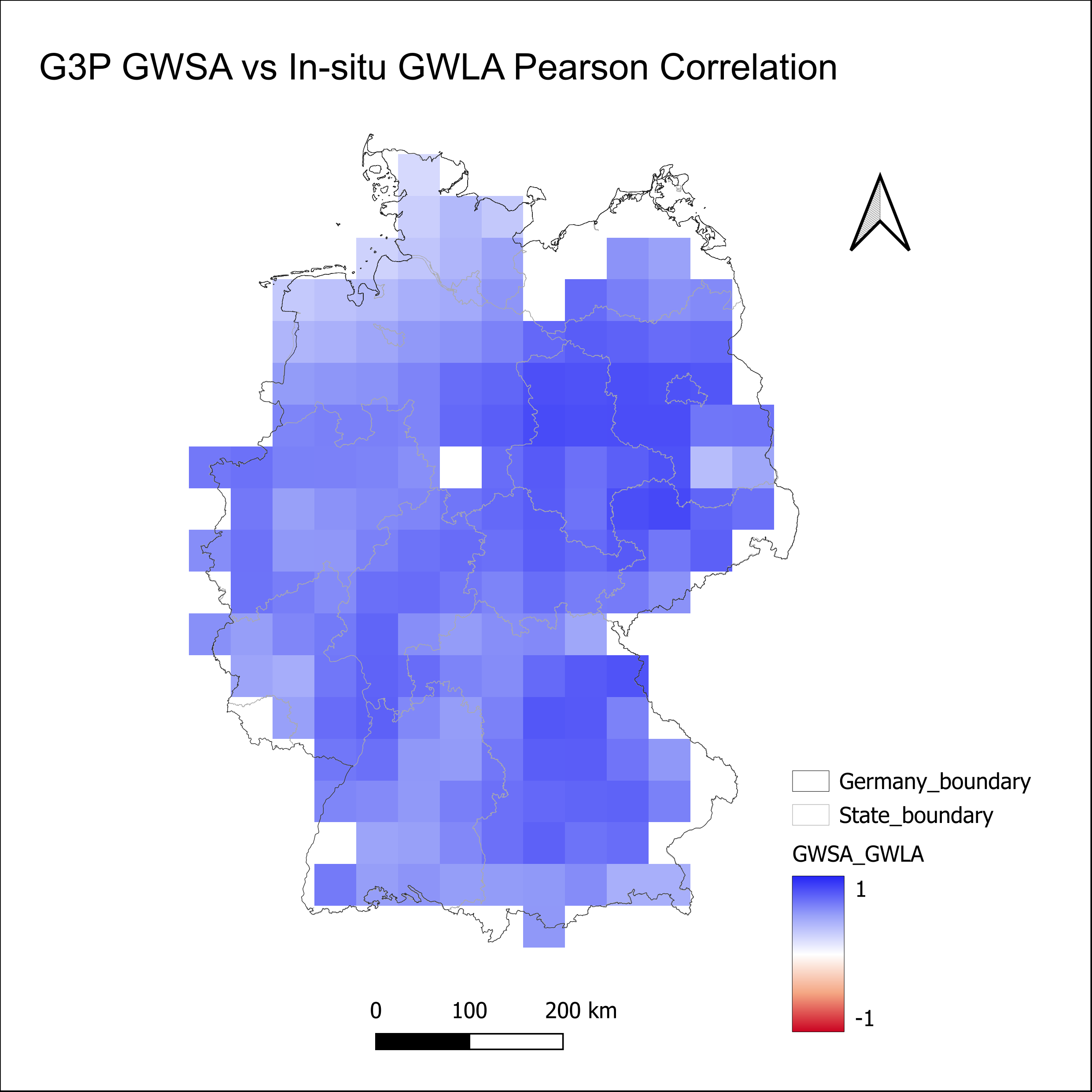
From the abstract: Germany is among the most groundwater-stressed countries in Central Europe, with sustained multi-year droughts since 2018 accelerating aquifer depletion across much of the country and exposing critical gaps in national-scale monitoring. This internship at IGRAC (International Groundwater Resources Assessment Centre, Delft) developed a reproducible national trend assessment using over 10,000 monitoring wells across 13 federal states for the period 2004-2023, applying the Modified Mann-Kendall significance test, Sen’s slope estimator, and the Change in Rate Index (CRI) to quantify the direction, rate, and severity of groundwater level change, finding that nearly 70% of wells show a statistically significant declining trend. The presentation covers the statistical methodology, a spatial correlation analysis GRACE/GRACE-FO satellite products, the identification of priority hotspot regions using EU Water Framework Directive (WFD) groundwater body boundaries, and reflections on contributing to global groundwater evidence at IGRAC.
1st supervisors: Dr. Florian Betz
From the abstract: Germany is among the most groundwater-stressed countries in Central Europe, with sustained multi-year droughts since 2018 accelerating aquifer depletion across much of the country and exposing critical gaps in national-scale monitoring. This internship at IGRAC (International Groundwater Resources Assessment Centre, Delft) developed a reproducible national trend assessment using over 10,000 monitoring wells across 13 federal states for the period 2004-2023, applying the Modified Mann-Kendall significance test, Sen’s slope estimator, and the Change in Rate Index (CRI) to quantify the direction, rate, and severity of groundwater level change, finding that nearly 70% of wells show a statistically significant declining trend. The presentation covers the statistical methodology, a spatial correlation analysis GRACE/GRACE-FO satellite products, the identification of priority hotspot regions using EU Water Framework Directive (WFD) groundwater body boundaries, and reflections on contributing to global groundwater evidence at IGRAC.
1st supervisors: Dr. Florian Betz




![[Spotlight] Lecturer Spotlight: Julian Faeth](https://eagle-science.org/wp-content/uploads/2026/10/Julian_Faeth_EORC_EAGLE_2026-400x250.jpg)



