
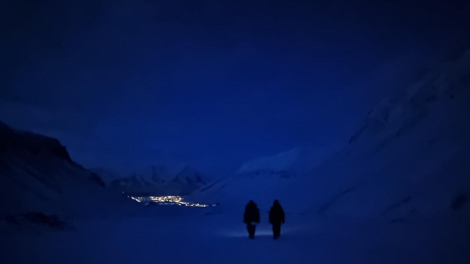
This spring, Marlene and Aoibhin, two students from our EAGLE M.Sc. program have started their research internship in the high Arctic on Svalbard. Hosted by Prof. Larissa Beumer at the University Centre in Svalbard (UNIS), the students are gaining hands-on experience in Arctic field research while contributing to ongoing remote sensing studies of wildlife–snow interactions.
The internship is co-supervised by EAGLE alumni Lena Jäger and Ronja Seitz, who are currently working on Svalbard, and takes place in close collaboration with researchers from our Earth Observation Research Cluster (EORC), Dr. Mirjana Bevanda and Dr. Jakob Schwalb-Willmann.
Settling into Life in Longyearbyen
The students quickly settled into their new Arctic environment. Their cabin is quite cosy and close to everything, making daily life convenient despite the physical distance from some of their fellow students. Thanks to shared safety courses with other Master’s students, they quickly became integrated into the UNIS community.
Social life in Longyearbyen is vibrant despite the remote location. Regular gatherings such as the Friday community meet-up, knitting cafés, pub quizzes, and various private events provide opportunities to connect with other students and researchers. Having roommates and co-interns who have previously lived in Longyearbyen has also helped our students quickly build local connections and navigate life in the Arctic research hub.
Fieldwork in Adventdalen
Fieldwork has just begun and is already off to a promising start. Early in the week, the team traveled to the valley of Adventdalen to begin data collection. Their work focuses on studying reindeer foraging behavior and its interaction with snow conditions.
The workflow combines drone-based remote sensing with traditional field measurements. Using predefined waypoints, the team first defines a small area of interest (AOI) and conducts both thermal and RGB drone imaging. These aerial observations are then complemented by detailed ground measurements at reindeer foraging craters.
At each crater site, the students measure snow depth, surface temperature, and bottom-pit temperature. They also use a “ramsonde” to assess snow hardness and compare these measurements with nearby control pits where no foraging occurred. This combination of aerial observations and in-situ measurements helps build a better understanding of how snow conditions influence reindeer access to vegetation.
From Data Collection to Data Processing
With the first field campaign completed, the students are now focusing on preprocessing the collected data before heading back into the field. Their next field campaign will take them to Bjørndalen, where they will continue mapping and analyzing reindeer foraging sites.
The internship offers a unique opportunity for EAGLE students to combine remote sensing methods, ecological fieldwork, and Arctic research experience. Through collaboration with UNIS researchers, EAGLE alumni, and EORC scientists, the students are contributing valuable observations that help link drone-based observations with on-the-ground measurements in one of the world’s most rapidly changing environments.




![[Spotlight] Lecturer Spotlight: Julian Faeth](https://eagle-science.org/wp-content/uploads/2026/10/Julian_Faeth_EORC_EAGLE_2026-400x250.jpg)



