
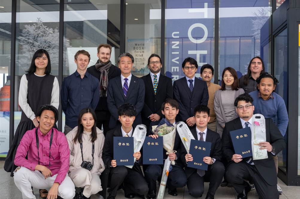
Our EAGLE M.Sc. student Konstantin Müller successfully completed a three-month internship at The International Research Institute for Disaster Science (IRIDeS) in Japan. IRIDeS is a leading institute dedicated to advancing research and understanding in the field of disaster science, playing a vital role in disaster prevention, mitigation, and response. This internship provided him with the unique opportunity to dig into IRIDeS ‘s work and contribute to ongoing research efforts while experience the cultural aspects and the way of living at the east coast in Japan.
While the internship initially focused on social data analysis and topic modeling to extract insights from global media reports on disasters, the scope of the work expanded. He also investigated online traffic tracebacks and the development of a framework for global disaster news modeling with ERNIE (github.com/KonstiDE/ERNIE ).
The application of sophisticated techniques during the internship yielded interesting findings that allows looking for further projects, potentially bridging the gap between the emerging field of earth observation and social data analysis. This internship not only highlights the value of international collaboration in disaster science research, but also paves the way for innovative approaches in the field.
While the internship initially focused on social data analysis and topic modeling to extract insights from global media reports on disasters, the scope of the work expanded. He also investigated online traffic tracebacks and the development of a framework for global disaster news modeling with ERNIE (github.com/KonstiDE/ERNIE ).
The application of sophisticated techniques during the internship yielded interesting findings that allows looking for further projects, potentially bridging the gap between the emerging field of earth observation and social data analysis. This internship not only highlights the value of international collaboration in disaster science research, but also paves the way for innovative approaches in the field.




![[Spotlight] Lecturer Spotlight: Julian Faeth](https://eagle-science.org/wp-content/uploads/2026/10/Julian_Faeth_EORC_EAGLE_2026-400x250.jpg)



