
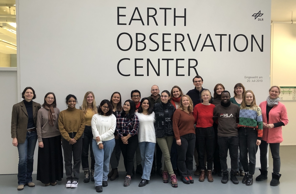
As part of the lecture by Claudia Künzer all EAGLEs of her course also visit the Earth Observation Center of DLR in Oberfpaffenhofen and listen to various talks by remote sensing scientists working in Oberpfaffenhofen:
Patrick Sogno, an EAGLE alumni and also PhD student in Würzburg presented “Earth Observation for Exposome Mapping – The Potential of Remote Sensing for Geohealth Analysis”.
One of our recent PhD graduates and also lecturers within the EAGLE M.Sc., Dr Celia Baumhoer, introduced the students to “Remote sensing of snow and ice”.
Also Dr. Jonas Meier presented “Small Fields, Big Impact: The Role of Earth Observation in the Sustainable Intensification of Smallholder Farms in West Africa. Insights from Current Research Projects”.
And two employees of the University of Würzburg, but based in Oberpaffenhofen presented their ongoing research:
Niklas Jaggy presented “Remote Sensing of forests – assessing disturbances, forest structure and biodiversity”.
and our Postdoc Dr. Sophie Reinermann introduced to “Remote sensing of grasslands”.
Our EAGLEs enjoyed the very interesting day and especially the opportunity to talk to DLR scientists over a coffee. Our students will spend the weekend also together in the Alps and enjoy the time together – hopefully with a lot of snow.
Patrick Sogno, an EAGLE alumni and also PhD student in Würzburg presented “Earth Observation for Exposome Mapping – The Potential of Remote Sensing for Geohealth Analysis”.
One of our recent PhD graduates and also lecturers within the EAGLE M.Sc., Dr Celia Baumhoer, introduced the students to “Remote sensing of snow and ice”.
Also Dr. Jonas Meier presented “Small Fields, Big Impact: The Role of Earth Observation in the Sustainable Intensification of Smallholder Farms in West Africa. Insights from Current Research Projects”.
And two employees of the University of Würzburg, but based in Oberpaffenhofen presented their ongoing research:
Niklas Jaggy presented “Remote Sensing of forests – assessing disturbances, forest structure and biodiversity”.
and our Postdoc Dr. Sophie Reinermann introduced to “Remote sensing of grasslands”.
Our EAGLEs enjoyed the very interesting day and especially the opportunity to talk to DLR scientists over a coffee. Our students will spend the weekend also together in the Alps and enjoy the time together – hopefully with a lot of snow.




![[Spotlight] Lecturer Spotlight: Julian Faeth](https://eagle-science.org/wp-content/uploads/2026/10/Julian_Faeth_EORC_EAGLE_2026-400x250.jpg)



