
EAGLEs visit DLR EOC

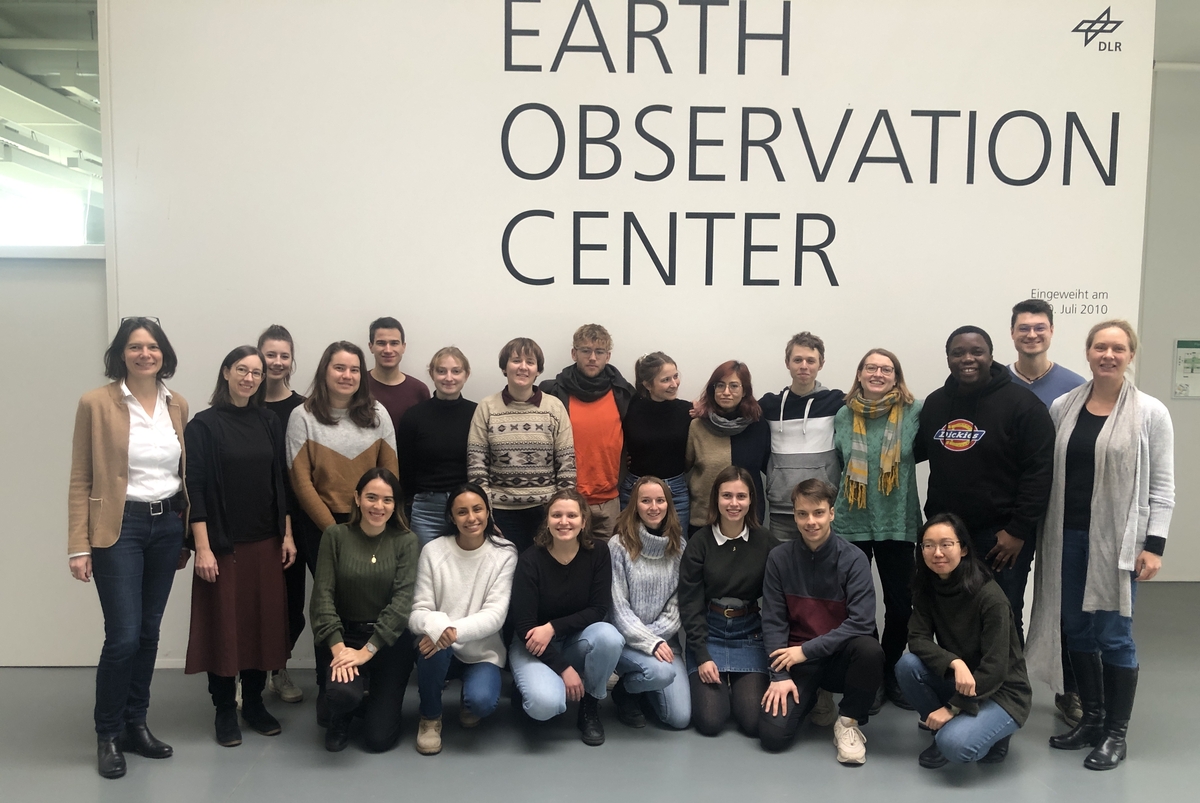
After a long break due to covid we resumed the EAGLE visit of DLR EOC. Many EAGLEs from the current generation and quite some of the past (covid) generations joined this event and listened to many talks by DLR researchers. Some of the presenters were even former EAGLEs or PhD students from our Earth Observation research hub (www.earth-observation.org). Afterwards Claudia Künzer organized a world-cafe style QA session with DLR employees and EAGLEs, so that a lot of questions could be asked and lively discussions could take place. Finally also a fun visit of GSOC was organized to see the ISS coordination in practice.

The talks were:

  • Towards the global Quantification of Permafrost Loss along Arctic Coasts by Marius Philipp
  • Multivariate Time Series for the Analysis of Land Surface Dynamics by Soner Üreyen
  • Towards an Improved LargeScale Gridded Population Dataset: A PanEuropean Study on the Integration of 3D Settlement Data into Population Modelling by Daniela Palacios Lopez
  • Mapping of hedges using deep learning by Jennifer Kriese
  • Earth Observation for Exposome Mapping The Potential of Remote Sensing for Geohealth Analytics by Patrick Sogno
 

read more news:

[spotlight] Lecturer Spotlight: Martin Wegmann

[spotlight] Lecturer Spotlight: Martin Wegmann

If you've ever sat in a Würzburg classroom learning how to wrangle satellite data, there's a good chance Martin Wegmann was the one standing at the front. He's been the driving force behind the EAGLE MSc program, the Applied Earth Observation degree at the University...

EAGLE Internship Presentation: Svalbard

EAGLE Internship Presentation: Svalbard

On July 07, 2026, Aoibhin Murphy and Marlene Sehrbrock will present her internship results on " Svalbard" at 12:00 in seminar room 3, John-Skilton-Str. 4a. From the abstract: Using thermal and RGB imagery collected via UAVs, we investigated the potential of thermal...

EireR R package: unified gateway to Irish geospatial data

EireR R package: unified gateway to Irish geospatial data

Anyone who's tried to do geospatial work across the whole island of Ireland knows the headache. Ireland is one island geographically, but it's split across two jurisdictions, the Republic and Northern Ireland, and each one runs its own data infrastructure. Different...

Impact of agrophotovoltaic facilities – an R package

Impact of agrophotovoltaic facilities – an R package

There's a new R package on the block, and it's solving a problem that sounds simple until you actually try to do it: how do you tell whether putting solar panels over a farm field is good or bad for the soil and the crops around them? Marlene, one of our EAGLE...







