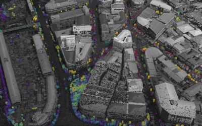
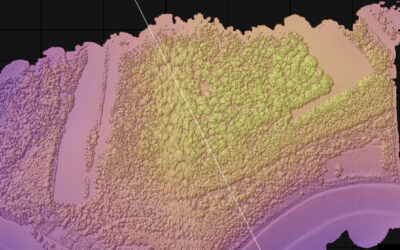
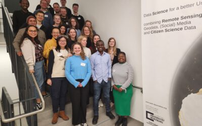
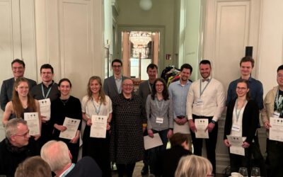
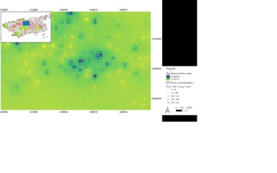
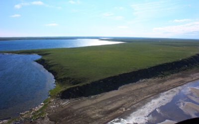
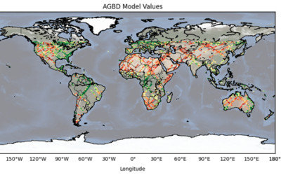
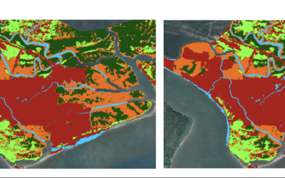
Our EAGLE students had to present their work as posters, reports or oral presentations at the end of the summer term and could show impressive achievements and results of small research projects.Some impressions of their oral and poster presentations can be found below:
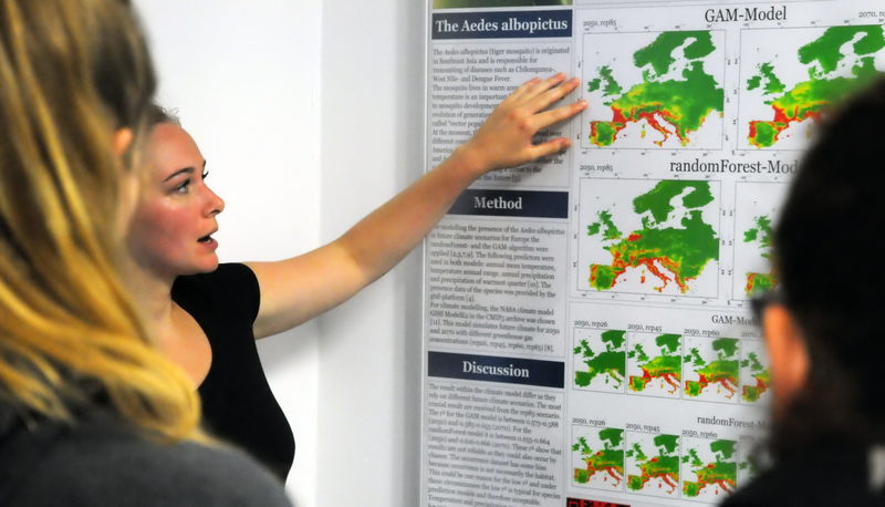
Spatial Prediction Course
Scientific Presentation Course
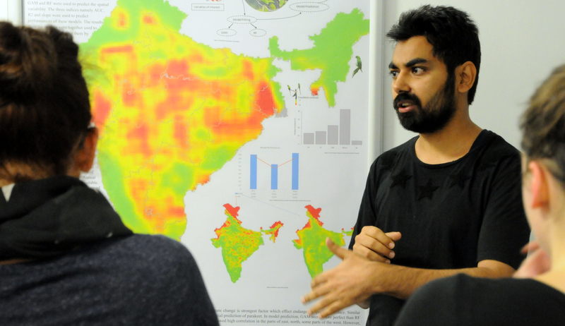
Spatial Prediction Course
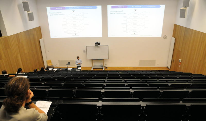
Scientific Presentation Course
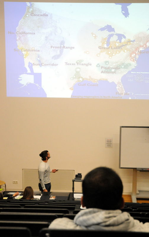
Scientific Presentation Course
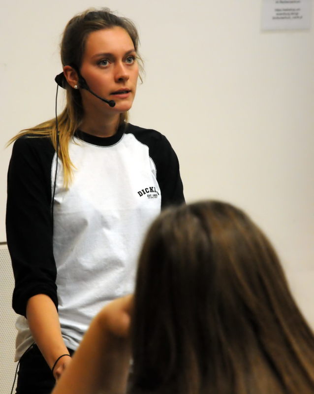
Scientific Presentation Course
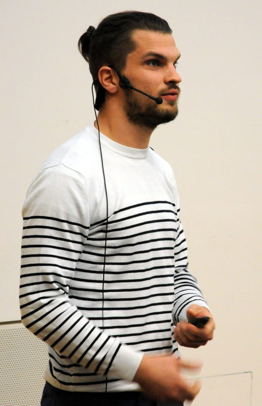
Scientific Presentation Course
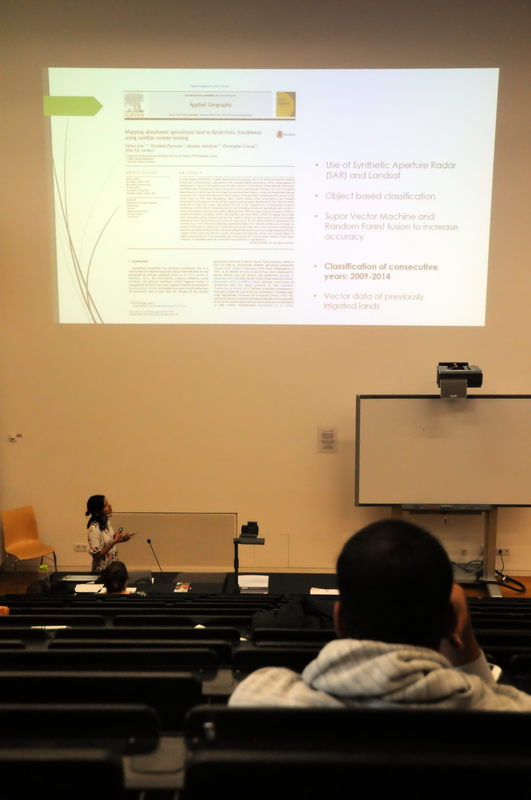
Scientific Presentation Course