
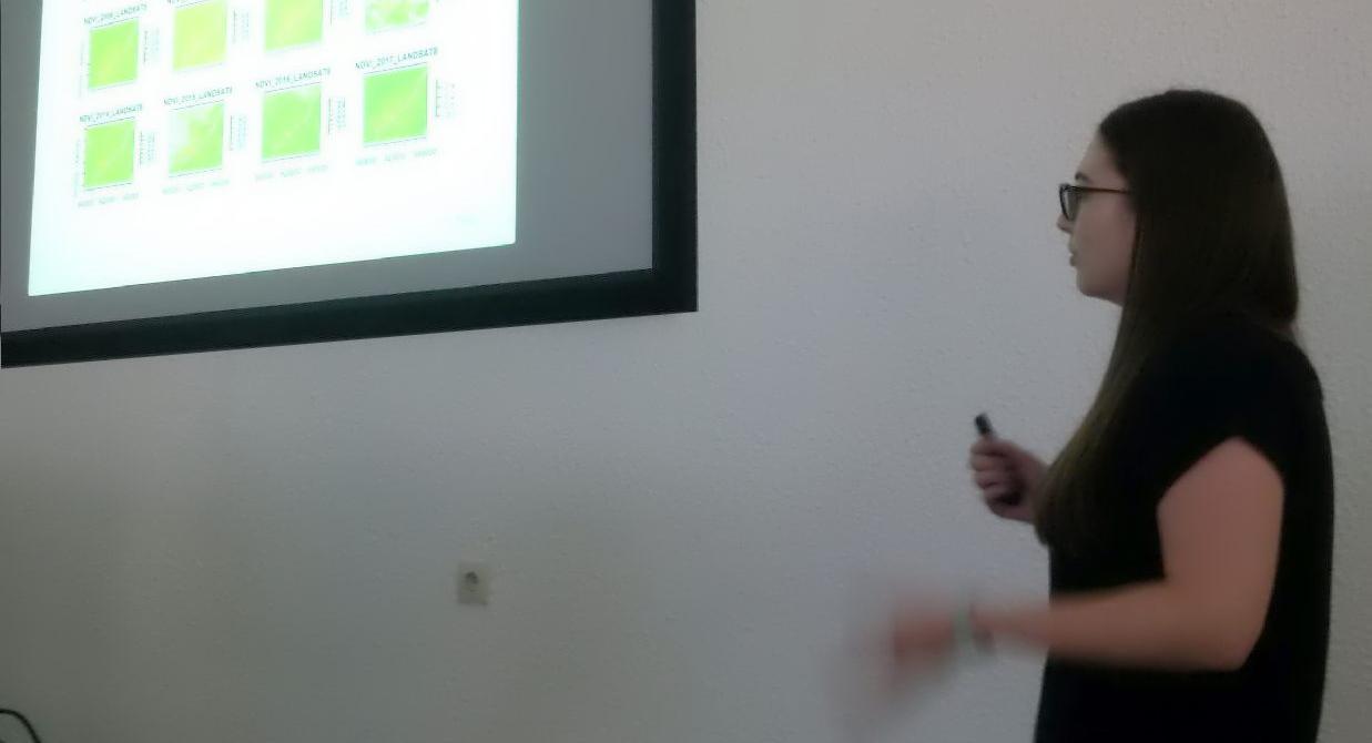
 The final project presentations of the spatial coding course by the EAGLE students revealed quite some impressive analysis achieved within the last couple of months. All analysis were done using R and presentations created within R using knitr. The aim was to run a variety of remote sensing analysis using R coding in order to increase the coding and remote sensing skills.
The project topics ranged from landcover change detection to sensitivity analysis of thresholds, covariates or training data concerning supervised classifications. All students added their scripts to a git and some even provided dedicated R packages for their specific analysis.
![[spotlight] Lecturer Spotlight: Thilo Erbertseder](https://eagle-science.org/wp-content/uploads/2026/10/Thilo_Lecturer_Portrait_EAGLE_EORC_2026-400x250.jpg)




![[Spotlight] Lecturer Spotlight: Julian Faeth](https://eagle-science.org/wp-content/uploads/2026/10/Julian_Faeth_EORC_EAGLE_2026-400x250.jpg)


